Thanks so much for the background info. This little house has come up before.
Quote:
Originally Posted by GaylordWilshire

|
Originally posted: Dec 8, 2012, 10:47 PM
tovangar2
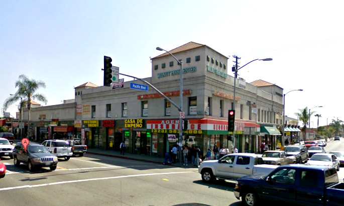
Flower at 7th
Quote:
Originally Posted by kznyc2k
And more Christmas scenes from VLA, starting with this wonderful shot of Flower Street in 1928:
 |
Thx, this one's a beaut. Flower at 7th looking south with the Barker Bros Bldg on the right. The older building on the near left is great
*, much better than the Broadway (now Macy's) Plaza's blank wall we have now (there were many 19th century bits throughout DTLA right through the 70's. Mostly gone now.)
The little two-story, frame house beyond Barker Bros. looks very brave but doomed. The Ritz Hotel is still with us, but not much else. Bit of a wasteland now of empty lots and parking structures.
The base of Barker Bros (Curlett & Beelman, 1925) is so similar to the Roosevelt Building (Curlett & Beelman, 1926), diagonally across the intersection, that I got turned around for a moment.
* Identified by
rick m as the Martz Flats:

lapl
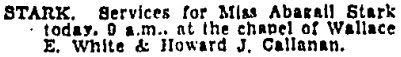
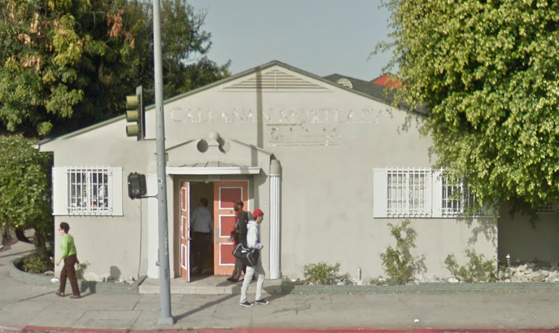
(flag appears to be in front of the Stark house)
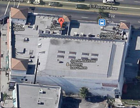
723 S Flower
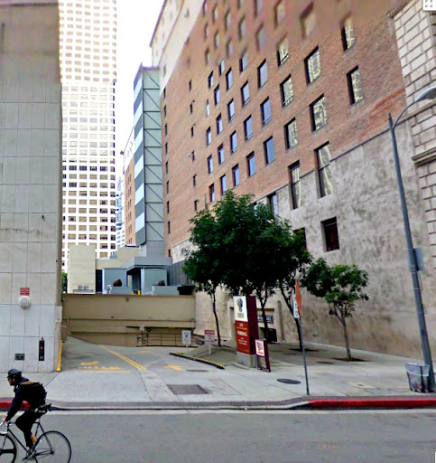
gsv
Flower St, looking south from 7th
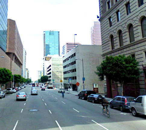
gsv
The Stark house in 1871 (Abigail was 12), on Flower just south of 7th:
 http://www.bigmapblog.com/2011/los-a...eared-in-1871/
This map section shows the land given to Ozro Childs by the city for extending the Mother Ditch (Main to Figueroa and 6th to 9th).
Robert Stark bought the block between Flower and Figueroa and 7th and 8th from an intervening owner.


 Prev
Prev


 GoogleSV


 Linear Mode
