St John's Newfoundland.
All photos courtesy Geography Department, Memorial University of Newfoundland. All photos taken turn of the century or up to 1948. All pictures were taken pre-confederation, when Newfoundland was a Dominion under the British Crown, but also an an independent country.
Link to sight:
http://www.library.mun.ca/qeii/cns/photos/#2.01 .

View of south side of Water Street and Sclater's Store, pre-1892

View looking west, Ayre and Sons to the left. Bus and parked cars
and horse drawn cart, c. 1948

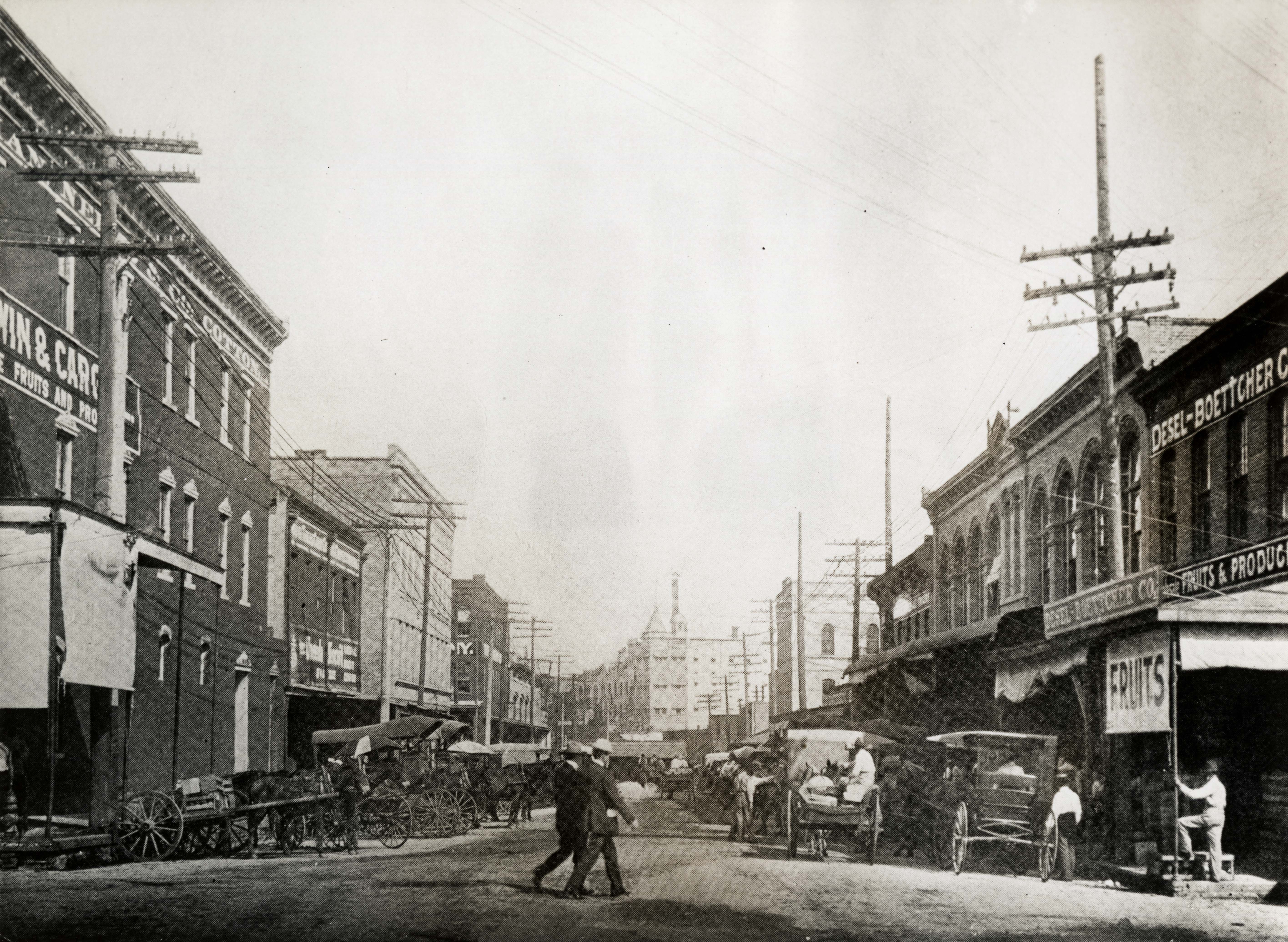
1926, Water Street

New Gower Street, post 1892. That year a huge fire destroyed 1/3 of the city. Due to the enormous number of wooden pre firewall structures, many buildings were lost.

New Gower Street, west of Waldegrave Street, looking northeast, post-1892

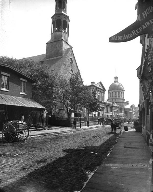
View looking east, buildings, gas lamps, and chimney pots,
pre-1892

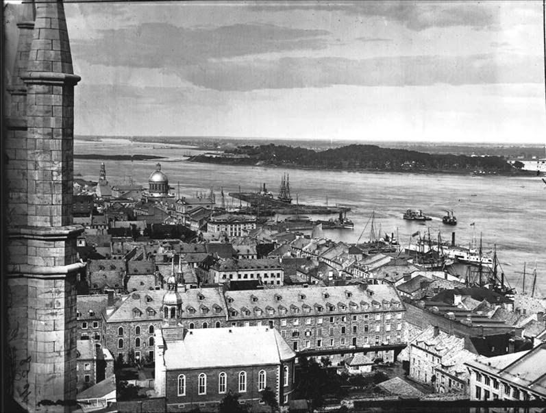
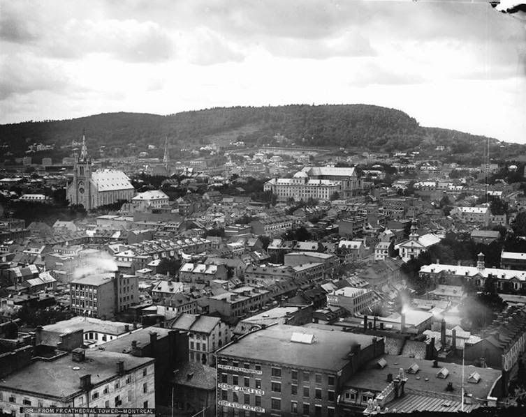
View from Roman Catholic Basilica towards the harbour, includes
the Congregational Church and Bee Orchid Cottages, c. 1905
Similar view today, taken be me in Nov. 2007

View looking up Garrison Hill from Queen's Road

View from the roof Newfoundland Hotel looking up Military
Road, includes streetcar tracks, c. 1925

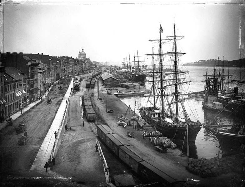
View of eastern end of waterfront from railway track, includes
wharves, buildings and houses, pre-1892

View of the west end of harbour from the Southside - plus
enlargement

View of the west end of harbour, detailed area around the drydock

View of the Narrows and Lower Battery with a Red Cross liner

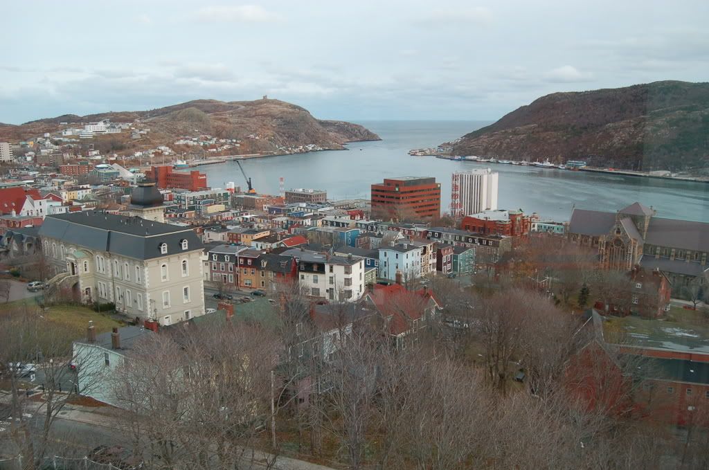
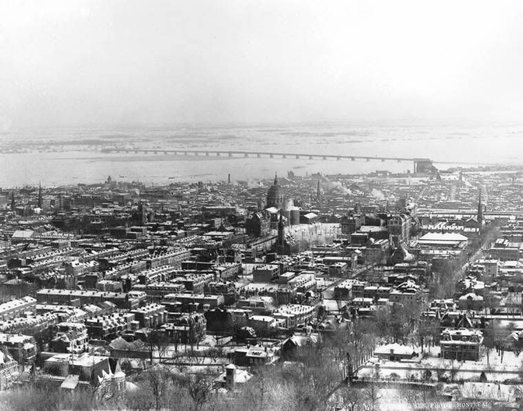
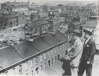
View of harbour and St. John's from Signal Hill, post-1925
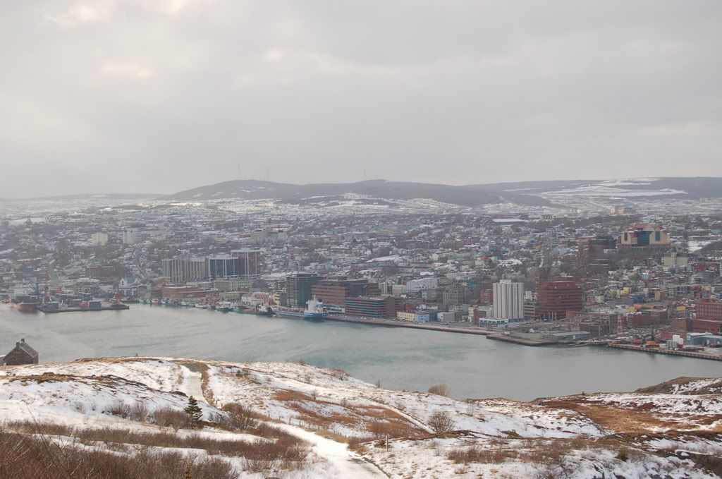
Similar view taken be me in Dec, 2007

Sutherland Place, King's Bridge Road


Until 1948, Newfoundland drove on the left!
I found all these photos in the entire thread submitted by everyone fascinating! Hope you liked the photos. Luckily, a very large amount of heritage buildings still survive today, alas post 1892.


 Prev
Prev


 Linear Mode
