 Posted Mar 9, 2015, 12:12 AM
|
 |
I ♣ Baby Seals
|
|
Join Date: Jul 2012
Location: Sin Jaaawnz, Newf'nland
Posts: 34,700
|
|
Just happened upon this thread minutes after this post somewhere else:
Quote:
Originally Posted by SignalHillHiker

Not mine, but a couple of aerial or drone photos.
 Basilica 1 Basilica 1 by Charlieg23, on Flickr
The neighbourhood above the Basilica in the above photo is Georgestown. These pictures are old because the double-decker tour buses were still in use then and they haven't been for years.
 Basilica 2 Basilica 2 by Charlieg23, on Flickr
Branch, a small FARMING (that's rare here) and fishing village south of St. John's.
 Branch 1 Branch 1 by Charlieg23, on Flickr
The source of most of the island's electricity.
 Seal Cove Power Station Seal Cove Power Station by Charlieg23, on Flickr
*****
Went looking for a few more...
 Quidi Vidi arial 090626 001 Quidi Vidi arial 090626 001 by Charlieg23, on Flickr
I want a drone so bad. It's one of the only ways St. John's looks cool because of the street grid.
 https://www.flickr.com/photos/312168...n/photostream/
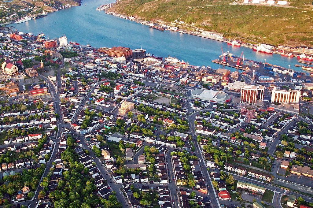
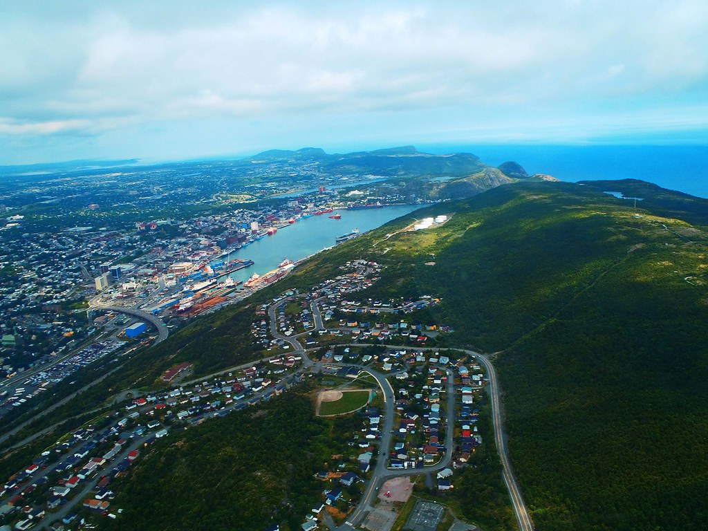 St Johns harbor 120704 001_e St Johns harbor 120704 001_e by Charlieg23, on Flickr
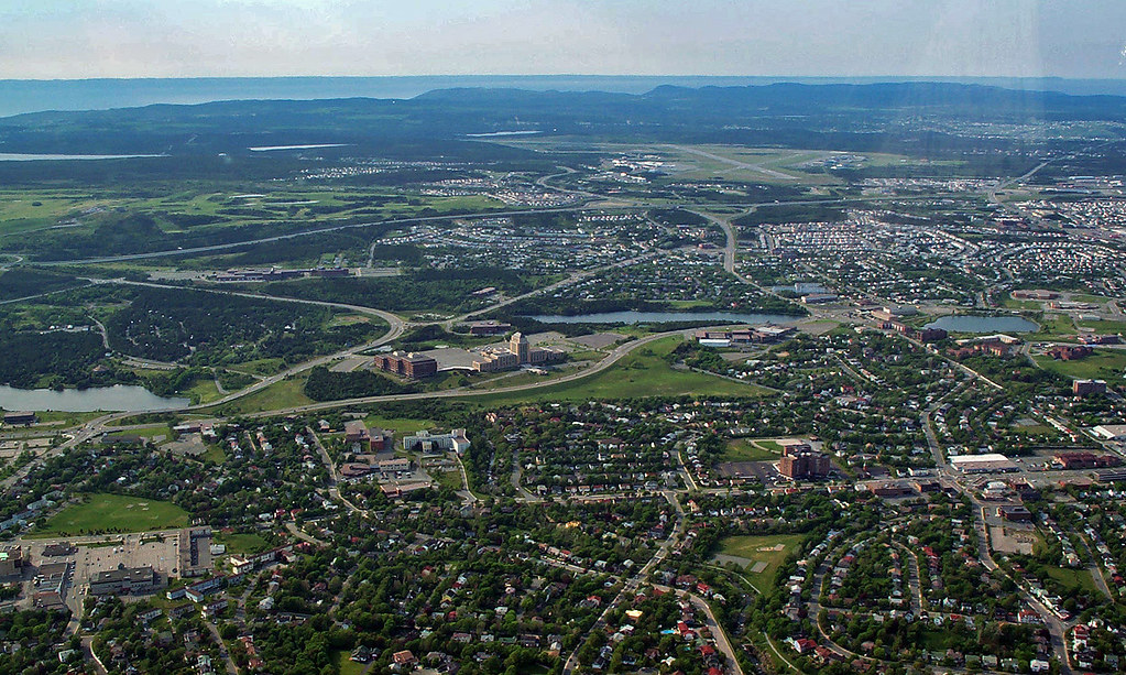 St Johns 000422 001 St Johns 000422 001 by Charlieg23, on Flickr
You can see my house in this one. It's near the right edge of the photo (but fully visible), near the middle of the photo. 
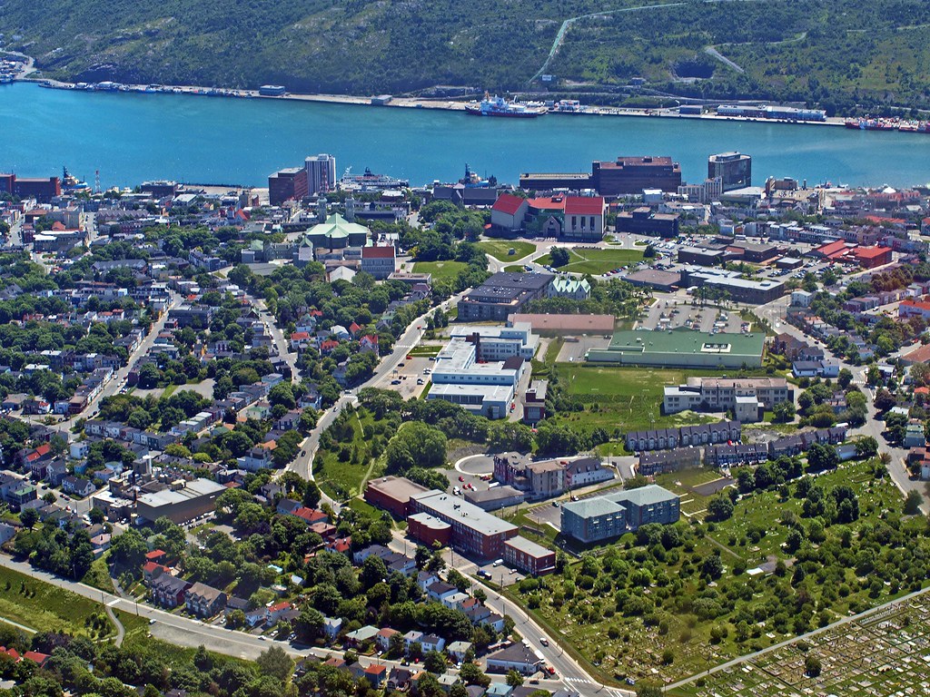 St Johns Centre 090703 001 St Johns Centre 090703 001 by Charlieg23, on Flickr
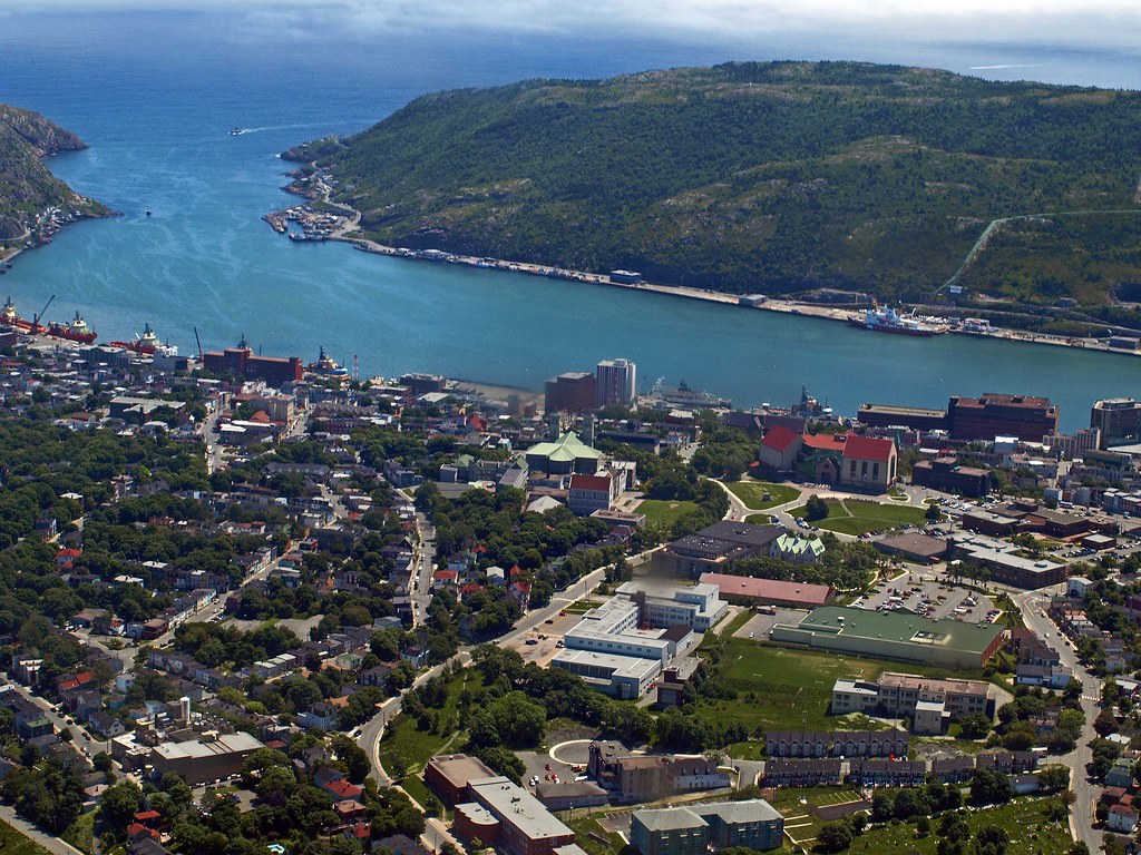 St Johns Centre 090703 002 St Johns Centre 090703 002 by Charlieg23, on Flickr
 St Johns 2000 001 St Johns 2000 001 by Charlieg23, on Flickr |
__________________
Note to self: "The plural of anecdote is not evidence."
|