Quote:
Originally Posted by ThreeHundred

Anyone have pictures of Bunker Hill during it's redevelopment during the 60's?
|
they're kind of depressing. here's a few.
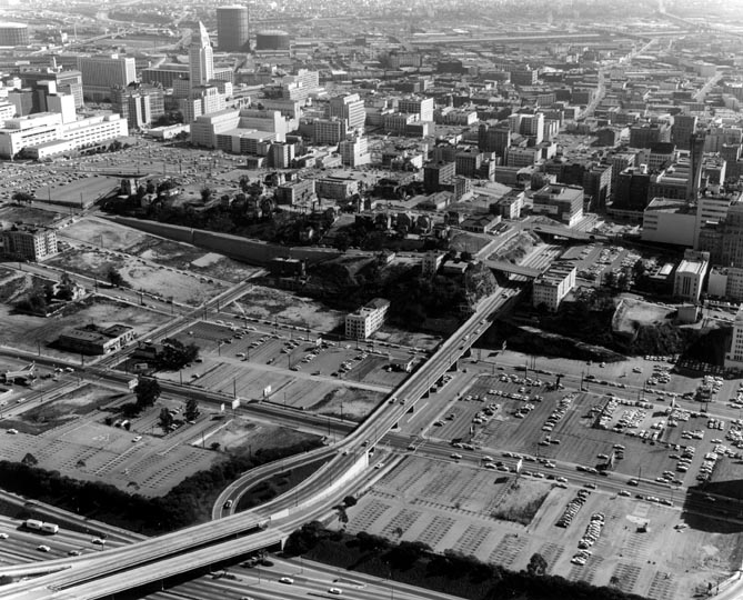
here's a particularly nauseating image taken in 1969

California State Library
This is looking south from approximately 2nd street on what used to be Bunker Hill Avenue. Grand avenue is on the left. and what is kind of hope street is on the right.
This particularly repulsive aerial from 1970 captures the CRA's scorched earth policy in all it's horror
LAPL
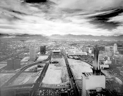
Here's an aerial taken in 1965
USC Digital Archives
There are still a few homes and buildings on bunker hill avenue. almost everything west of hope has been cleaned from the face of the earth
I might as well add one more from 1966 of a CRA official gazing down at the handiwork from the roof of the casa alta, (next door to the Ems), on Olive Street.........probably wondering where he can get some goats to munch and clear out the tumbleweed and scrub between olive and clay
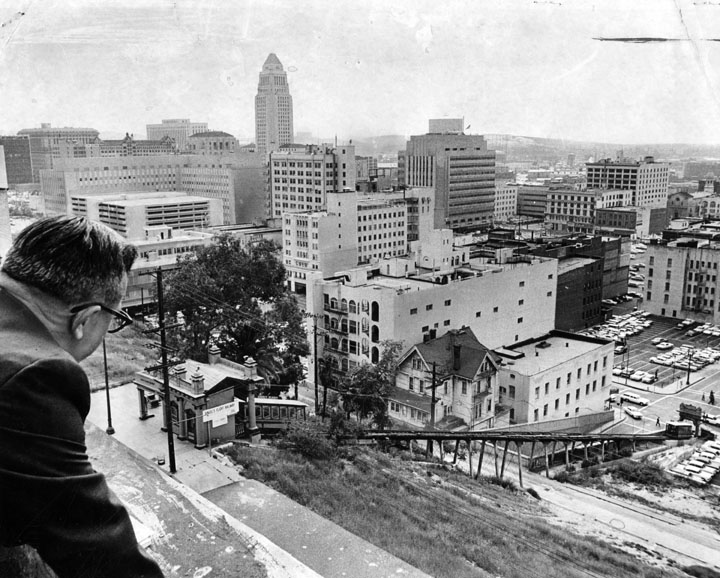
USC Digital Archive