Detail of the 1928 map posting by
BillInGlendale.
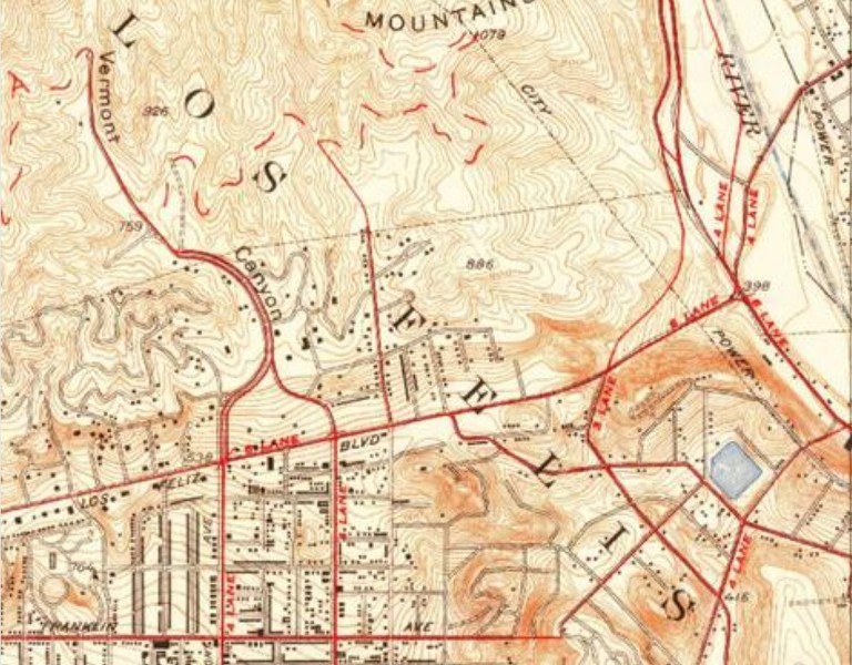
USG map
Quote:
Originally Posted by BillinGlendaleCA

I'm here to help (being that I'm a loyal minion).
You can see a road that follows(though a bit more curvy) the current path of Commonwealth as it curves west to Vermont Canyon Road
and Vista Del Vale Road as it then heads north though the park. If you took this route to Mt. Hollywood(and I have) you'd exit Vista Del Vale
just below Glendale Peak and climb up the hogback(the ridge looks like a hog's back) to Dante's View and then up to the summit.
|
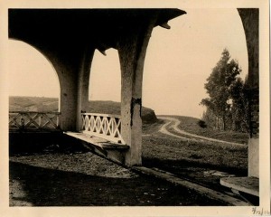
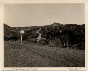
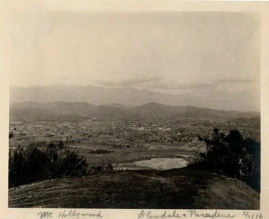
Minion Bill, so you're saying the 'Mt. Hollywood Trail', as seen in the 1916 photographs, eventually became Vermont Canyon Road?

 .
.