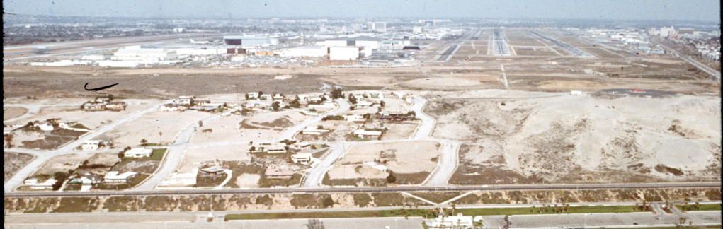
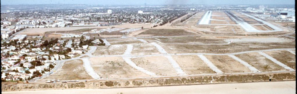
Here's the area taken by LAX in 1972 when most the houses were already gone. Sequence of pictures runs south-to-north.
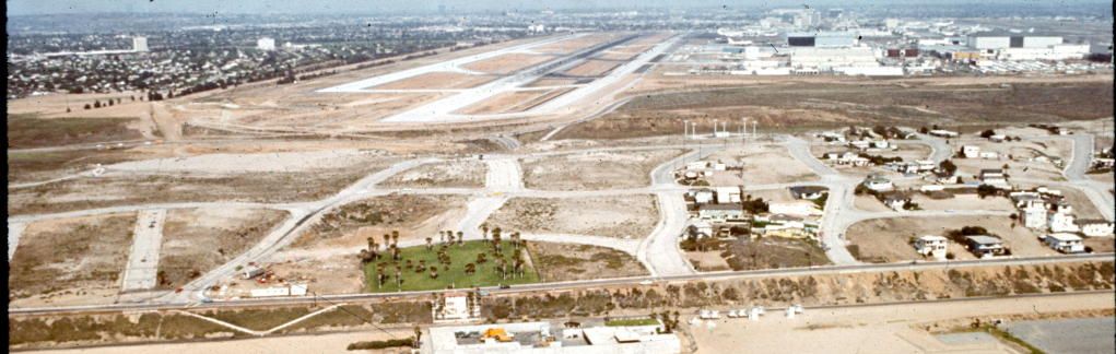
The east-west streets here are (left to right) Haviland, Ipswich, Jacqueline, and Killgore. The north-south streets are Vista del Mar (first up from the beach), then Rindge and Trask Avenues. A pair of V-shaped walkways leads from Vista del Mar down to the beach (well, technically a beach parking lot access road) at the foot of Killgore Street:
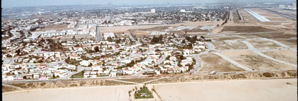
Grand Pre Blvd. is the street with the wide median and circular eastern end. Haviland is the next street south:
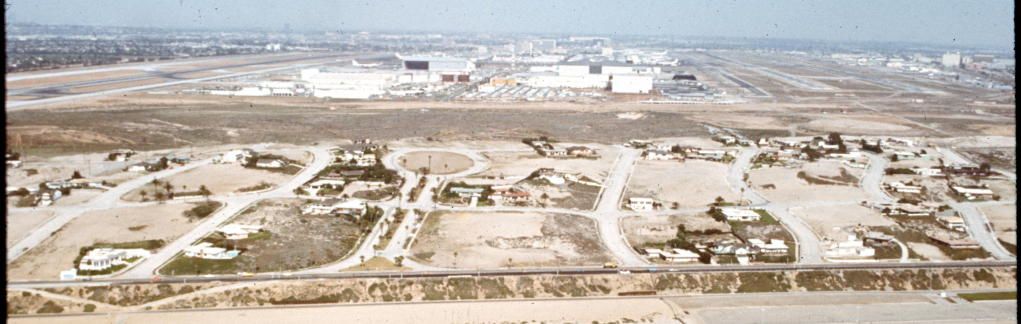
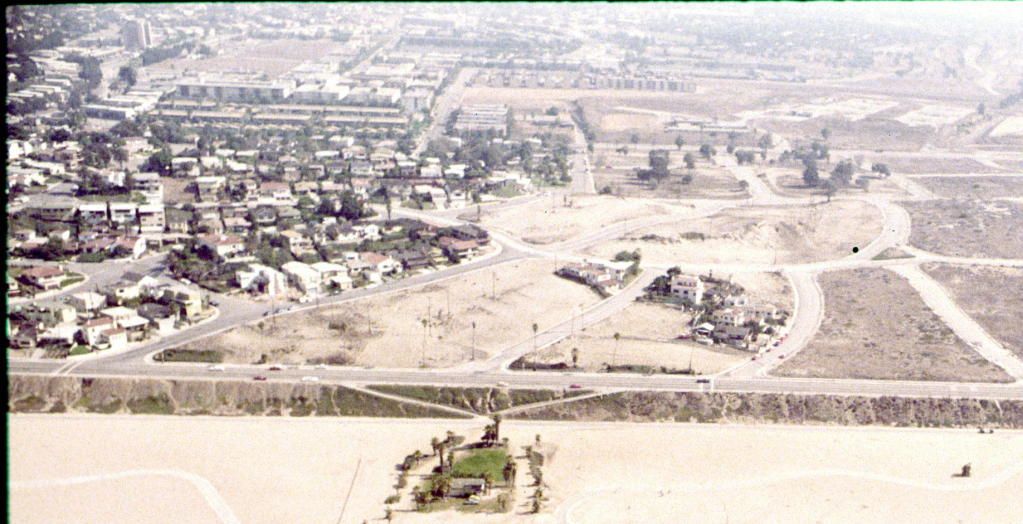
Beaumont St. ends at Vista Del Mar at the left, then it's Chateau (one block long between Trask and Rindge), Deauville, Epinard, and Fontainbleau. Trouville Ave. runs between Beaumont and Deauville:

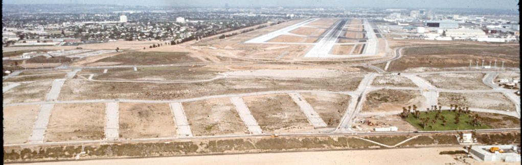
Argo is the short street at left, then Ocean Vista, Century Blvd. (ends behind the little park at Century Blvd. South), Avalonia, and Beaumont:
Left to right it's Sandpiper (shown as Moscow on 1943 and 1949 Renie Atlases), Ivalee, Ellen, Ney, Argo, Ocean Vista, and Century/Century South:
Palace is the street with houses only on its north side. Then to the south it's Sterry, Bolt, and Sandpiper, followed by the one-block streets (between Vista del Mar and Rindge) Ivalee, Ellen, and Ney:
North of Palace is Gillis Street (ends opposite the building down on the sand), then Napoleon, then Waterview (ends at Vista del Mar just off the left edge of the picture):
By 1979, LAX had extended its devastation zone to include everything south of the Waterview-Rindge-Napoleon line:
The last holdout homes were gone shortly thereafter. I remember the fire department kept using one -- maybe the big one on the south side of Gillis-- for practice until they finally burned it down. The streets remained open thru the late 1970s, but I can assure you that students from nearby Westchester High never went there at night to drink beer.

Photos from California Coastal Records Project:
http://www.californiacoastline.org/c...en=0&oneimage=
(Copyright © 2002-2013 Kenneth & Gabrielle Adelman, California Coastal Records Project,
www.californiacoastline.org)
Street names from 1961 Renie Atlas at Historic Map Works (
http://www.historicmapworks.com/Map/...ty+++Page+068/)