Quote:
Originally Posted by Flyingwedge

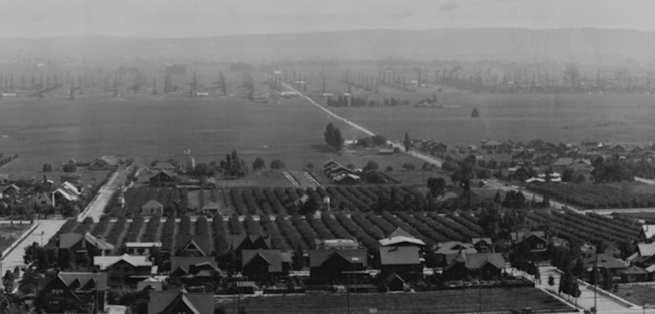
This is a portion of a south-facing photo dated 1918 (there's more to the east and west in the original). The cluster of larger buildings at left center is Hollywood High @ Sunset and Highland. To the west is ill-aligned Orange Drive. Next is Sycamore Avenue as it crosses Hollywood Blvd. and ends at Hawthorn; Sycamore south of Sunset hasn't been built yet. South of Sunset, La Brea heads off toward the oil wells, with La Brea's diagonal stretch north of Sunset at right:
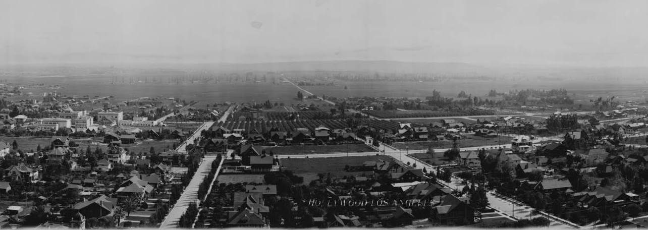
Huntington Digital Library -- http://hdl.huntington.org/cdm/single...id/4231/rec/38
A closer view of the McClellan/Chaplin property at the SE corner of La Brea and Sunset:
 |
Here's a photo dated 1922 looking NE at the Chaplin Studios with the intersection of La Brea and De Longpre at the bottom, just right of center:
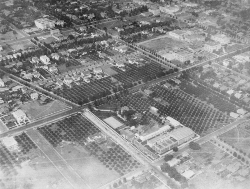
LAPL --
http://jpg2.lapl.org/pics08/00013606.jpg
It's interesting to compare the surrounding neighborhood in the above photo with a similar photo from 1926 that
Tourmaline (and also
BRR) posted:
http://forum.skyscraperpage.com/show...ostcount=17501