Quote:
Originally Posted by ethereal_reality

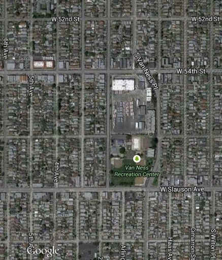
When we were in the Crenshaw and 54th Street area a few days ago, I noticed this transportation hub at 54th and 2nd Street.
What first caught my eye was how S. Van Ness curves and merges with another street to avoid the lot.
google_earth
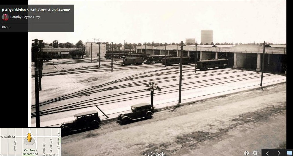
Here's an earlier view
google_earth
-note the two gas-o-meters in the distance. |
Diagonal road sections are often old streetcar routes, but not in this case. Here's the yard in 1954, when Arlington Avenue dead-ended at W 54th Street.
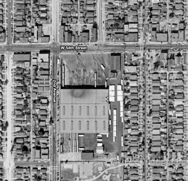
Historic Aerials
By 1972, the new section of S Van Ness Place can be seen. The old streetcar tracks have gone, but the main buildings look the same.
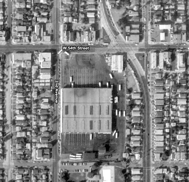
Historic Aerials
These are the replacement buildings in 2004 (which tends to be the sharpest of the recent Historic Aerials images).
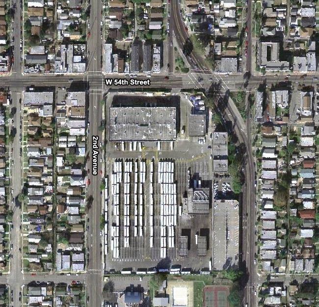
Historic Aerials
The gasometers in the background were south of Slauson on S St Andrews Place. We covered them in
post #22522.