
Well done for finding a picture of the Methodist Hospital,
Flyingwedge. Here it is on the 1921 Baist map.
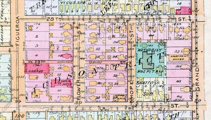 www.historicmapworks.com
I couldn't find any more ground level pictures, but here's a series of aerials showing how the site changed. The first is from 1948.

Historic Aerials
By 1972, the freeway has come pretty close, and all the small residential buildings have gone.
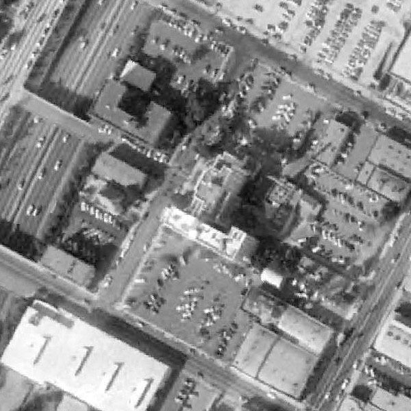
Historic Aerials
By 1980, the hospital has gone the same way as the houses.
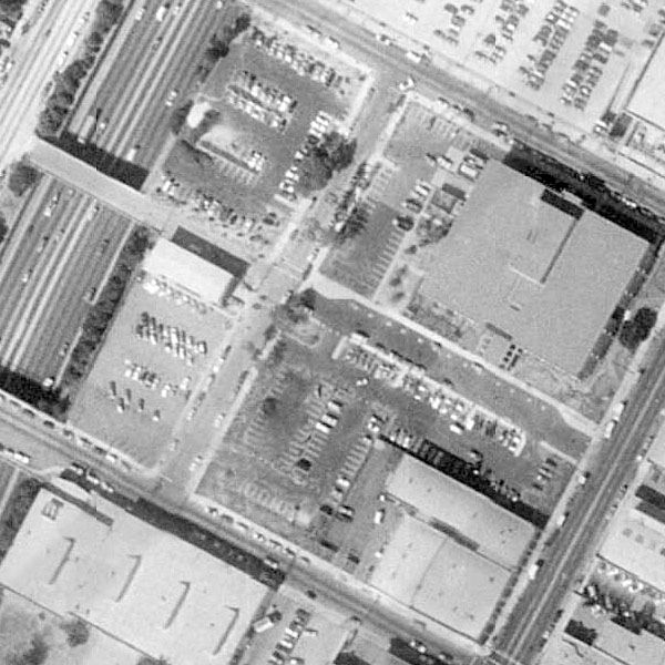
Historic Aerials
Twenty four years later, and a few of the smaller buildings have changed. The freeway bridge aligned with 29th Street has also gone to make way for new elevated sections of roadway.
Historic Aerials
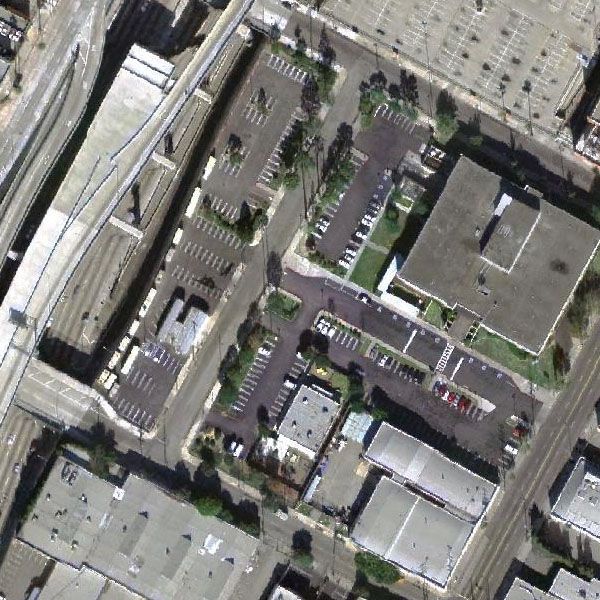
Here's how the site looks on Google Maps. The elevated freeway section still dead-ends in mid air.

Google Maps