Quote:
Originally Posted by GaylordWilshire

|
In the last photo in
GW's post (from 1928), there is an L-shaped building in the distance behind some trees, between the oil derrick and the house on the right. It looks vaguely like the PMA, although it doesn't seem to be facing in the right direction. Plus, compared with other photos, the building seems too far away from homes to be the PMA. I wonder what building it was?
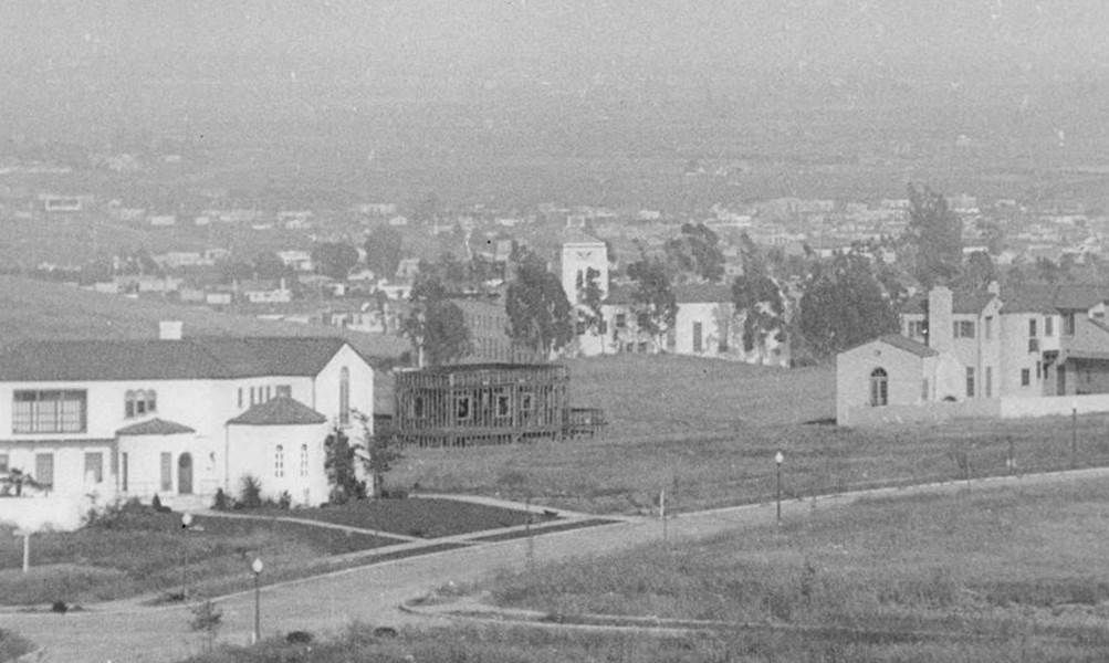
Here's a slightly zoomed view of a photo dated 1927, showing the same oil derrick and house in the foreground:
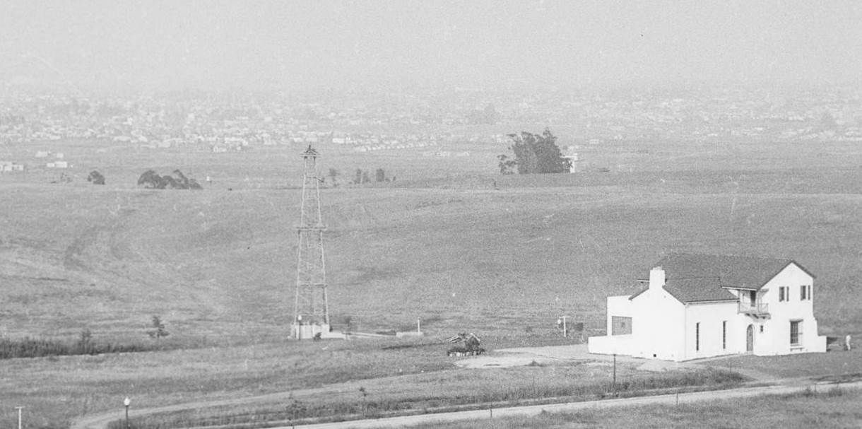
USCDL --
http://digitallibrary.usc.edu/cdm/co.../74048/rec/113 (pic 3)
Here's a closer look at the 1928 photo (last in
GW's post):
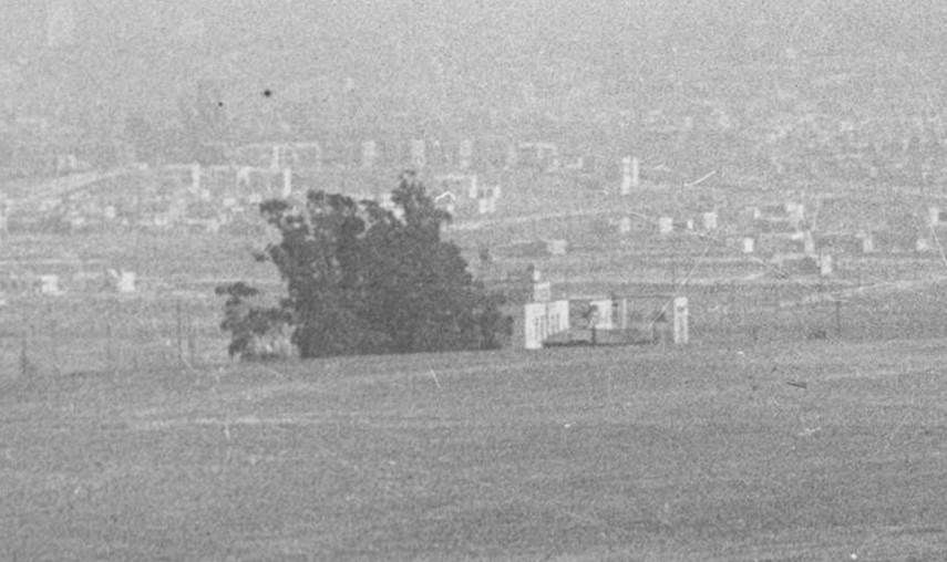
USCDL --
http://digitallibrary.usc.edu/cdm/co...d/9522/rec/190 (pic 13)
The shallow ravine behind the oil derrick in the wider 1927 and 1928 photos leads up to Circle Park, shown on the map below. The CHMA site (
http://www.usshawkbill.com/dclark/chma/property.htm) says the PMA campus was bordered by Castle Heights, Beverly, Beverlywood, and Cattaragus, marked by the green rectangle below:
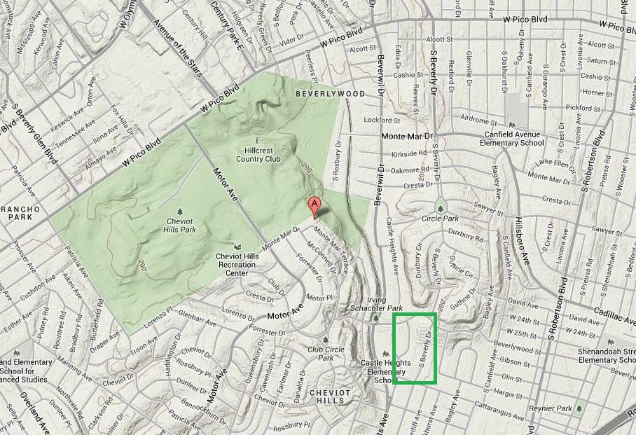
Google Maps
Here's a closeup from another 1928 shot from the same set as the last photo in
GW's post. We can see the PMA from behind:
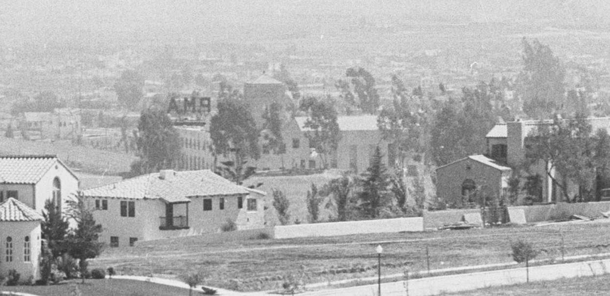
USCDL --
http://digitallibrary.usc.edu/cdm/co...d/9522/rec/190 (pic 1)
This is a closeup of a photo dated 1927:
USCDL --
http://digitallibrary.usc.edu/cdm/co.../74048/rec/113 (pic 4)