Quote:
Originally Posted by ethereal_reality

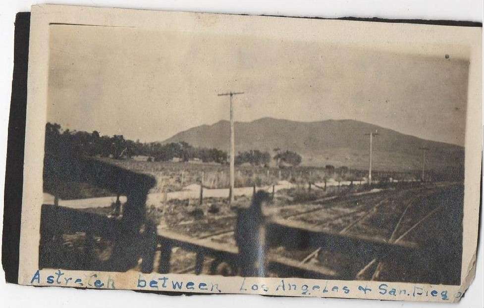
Can anyone decipher this simple snapshot found on ebay?
__ |
I think this may be a view of the old coast route looking south from the back of a northbound train just south of San Onofre (as it turns into Camp Pendleton)? Parts of an old road with old bridges side astride the 5 on the east side with the railroad tracks still between. Tried Google Maps but the day they drove down the 5 it was foggy so only the bottom of that hill was visible.