Quote:
Originally Posted by ethereal_reality

Here are a few more photos I found.
usc digital archive
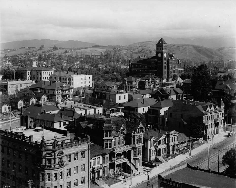
Above: My first question is.....are those oil wells in the foothills?
|
Am I going to complain about needing to go to bed, or am I going to talk about oil wells? Well, duh.
Yep, those are derricks, a lot of people assume that LA oil production is Wilmington/Long Beach/Signal Hill, and those are important to be sure, but later in the grand scheme of things...
There was nothing but a little seepy brea until Doheny's first shaft, fall of '92, which was near where Beverly crosses Glendale; by '95 derricks lined First Street. By '97 the area bounded by Figueroa, First, Union and Temple held over 500 producing wells--one could climb between derricks without touching the ground. Three out of every five barrels produced in California came from that field, and California produced a quarter of the country's oil. The big strikes in Signal Hill, Huntington Beach et al were still twenty years away.
Check out
this map, 1906:
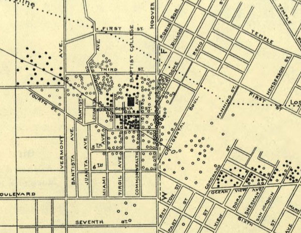
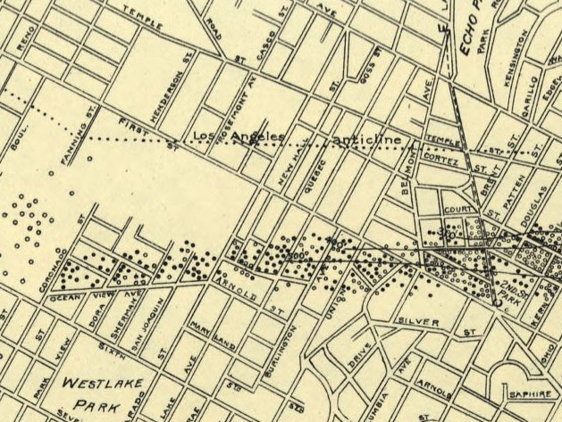
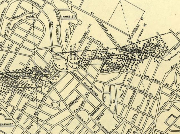
...and this isn't even all of them (you'll notice there are none around the aforementioned Fig/Temple area, this is just a map of a certain sand, that is, a particular stratigraphic substructure).