Those large color Cahuenga Pass photos, originally posted by BifRayRock, are quite interesting to me, especially this "red fez" shot.
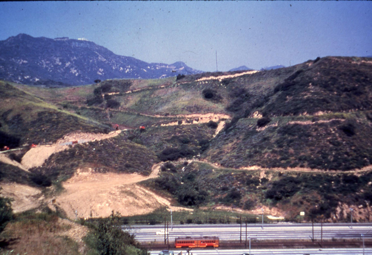
I think this must be the area just south of the Mulholland bridge, beneath Lakeridge Drive, and that we are seeing construction vehicles using these dirt paths as access roads. Perhaps they were involved in grading work or construction of homes up on Lakeridge. The vertical perspective in this Google Earth shot doesn't quite match the original, but I believe it's the same area.
 www.google.com