
This may be a good time to mention that I recently came across a copy of the 1921 Baist map in the USCDL. They've scanned each page separately rather than each plate, and the images can be zoomed further than the version at Historic Map Works. At the moment there's no sign of the 1910 or 1914 maps.
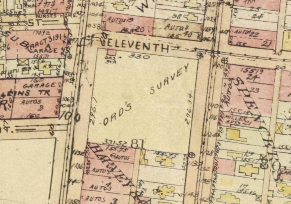
Here's the area from
Flyingwedge's post. I think it actually says "ORD'S SURVEY".
 USC Digital Library