^ Rest assured all cities have sprawl to some degree or the other, and Phoenix actually uses less water per capita than almost any other major U.S. city. Phoenix has done a better job of preserving what water we do have, and due to the "water credit" that we get when farms are replaced with subdivisions (water credit because farming operations uses way more water than single family homes), Phoenix has actually been increasing her reserves of available water since World War II, despite a massive increase in population from 150,000 in 1940 to 4.3 million today. SRP and other water providers in Phoenix estimate that with the currently available water supply, Phoenix alone could support a population of about 12 million. Keep in mind Phoenix uses little water from the Colorado via the Central Arizona Project aquaduct, as most of that water is recharged into the water table to replenish the aquifers. Even if the Colorado were to simply dry up, that loss of water would hurt Arizona's farmers more than Phoenix itself. Arizona gets about 2.8 million acre-feet of water per year from the Colorado. California gets 4.4 million, so they would be impacted even more than Arizona.
I found two spectacular Minneapolis/St. Paul aerial shots on Facebook and rehosted them on my website so I'm not using up Channel 11's bandwidth there. Here they are:
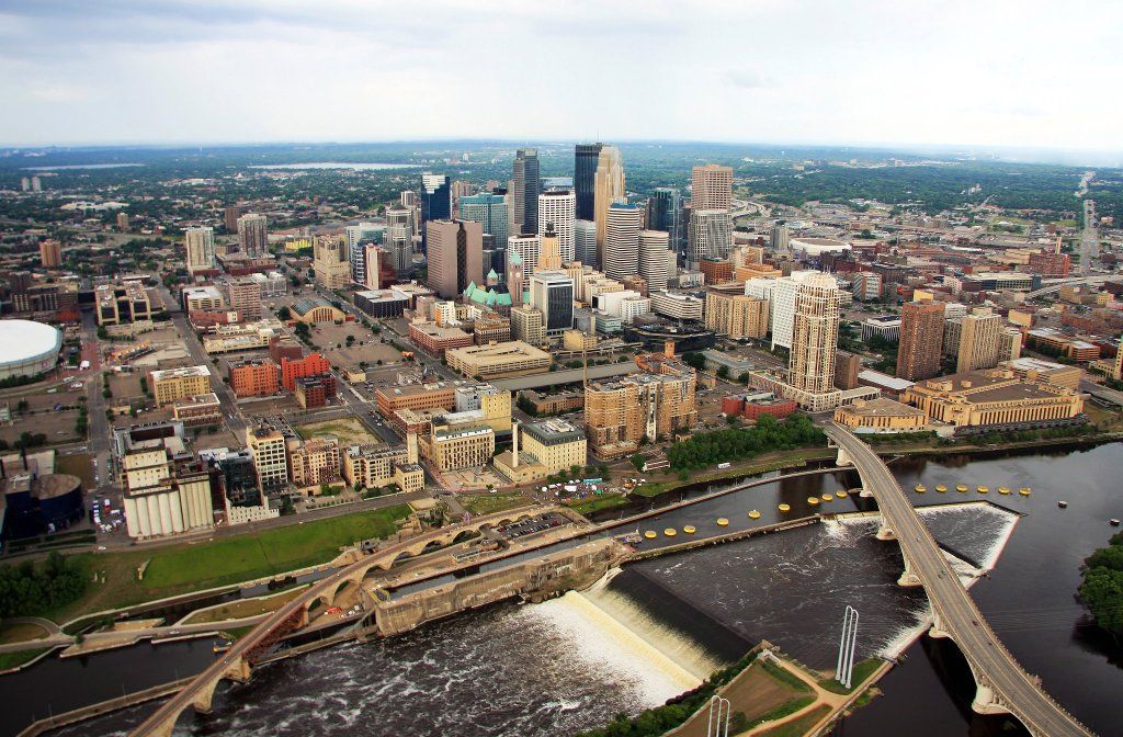
Minneapolis:
St. Paul:

Source:
https://www.facebook.com/KARE11
Copyright: Channel 11 News in Minneapolis (KARE News), and photographer Nate Anderson.
--don