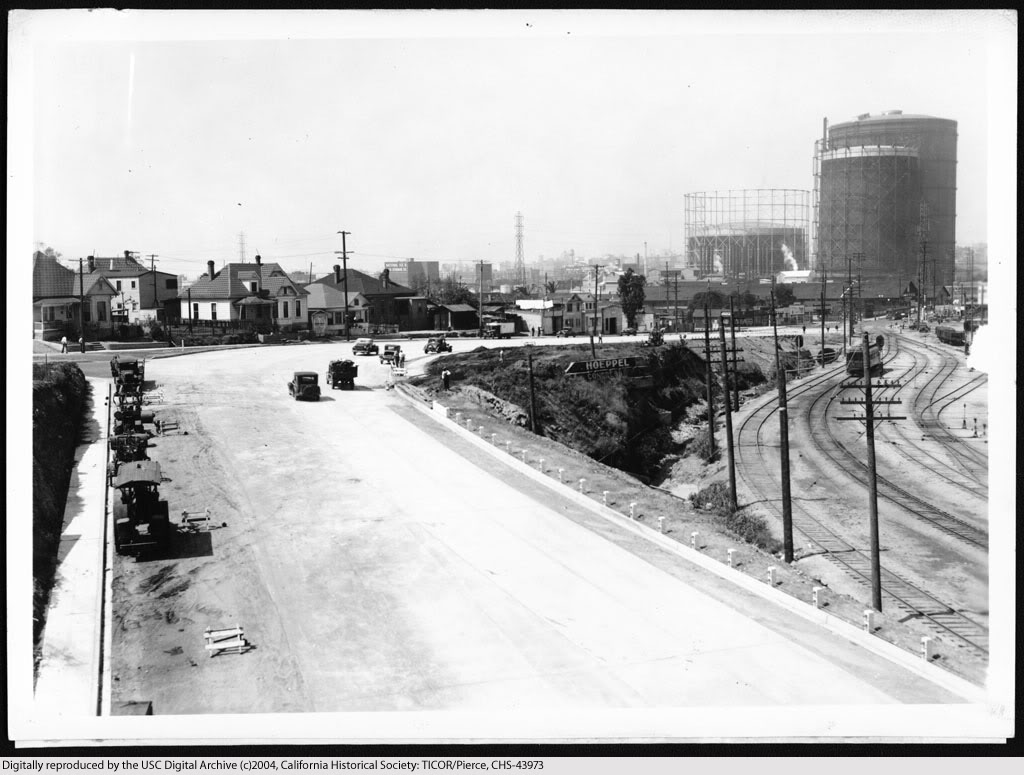
View southwest from the Macy Street viaduct showing the proposed route of Ramona Boulevard, November 15, 1933.

USC Digital Library
http://digitallibrary.usc.edu/search.../chs-m703.html
View southwest from the Macy Street viaduct showing Ramona Boulevard upon completion, April 16, 1935.
USC Digital Library
http://digitallibrary.usc.edu/search.../chs-m704.html
Our sopas_ej posted these comparative views earlier this month which fit right in the sequence here...
Quote:
Originally Posted by sopas ej

I thought I'd do a then and now. Or rather, a then, then and now.
Santa Ana/San Bernardino Fwy merge east of downtown LA, circa 1950-1951 (?). Notice the PE tracks and tunnel. I believe the PE stopped running here in 1950. Or was it '51? Hmm.

USC Archive
Santa Ana/San Bernardino Fwy merge east of downtown LA, circa 1955.

USC Archive
Santa Ana/San Bernardino Fwy merge east of downtown LA, December 11, 2010.
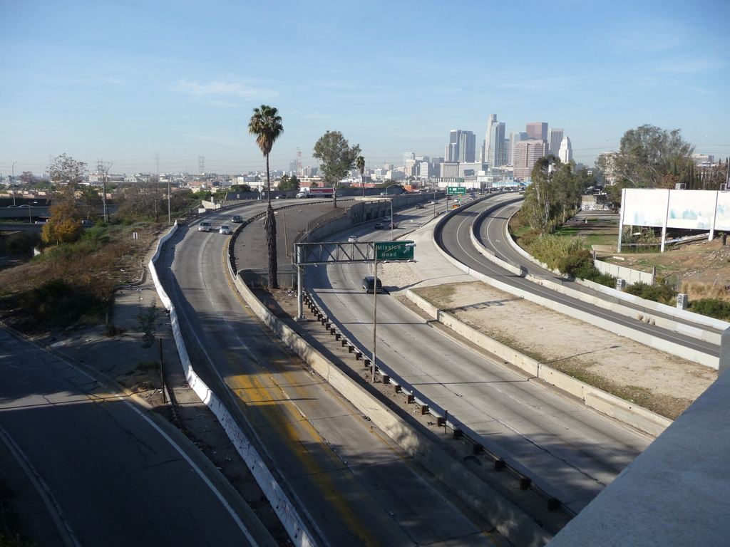
Photo by me |
-Scott
More info in my blog post
here.