some excellent Rio aerials, ALL of them by Luk´s, at this thread in SSC
http://www.skyscrapercity.com/showthread.php?t=1471987
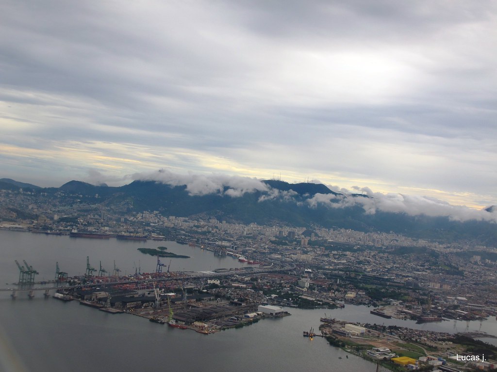
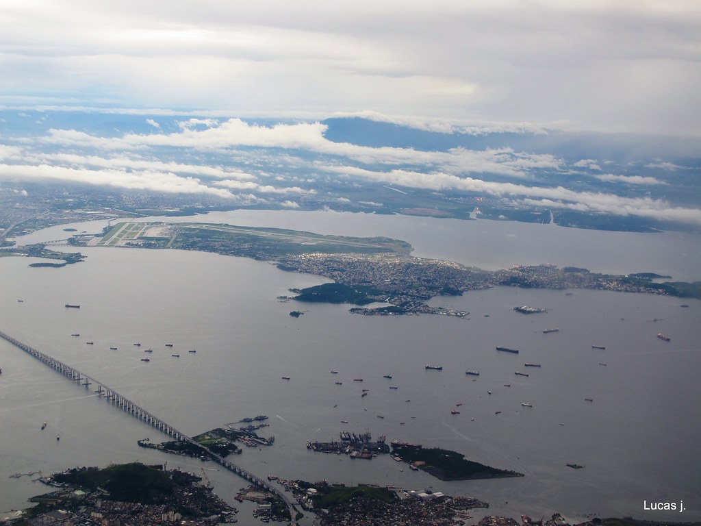
port area and the start of Rio-Niterói bridge
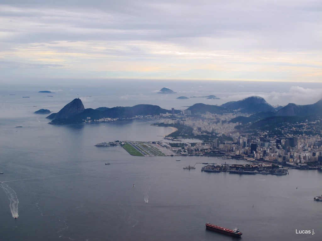
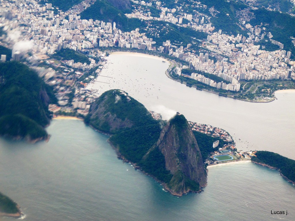
downtown and Sugarloaf mountain behind

downtown, Flamengo and Botafogo neighborhoods (and Urca, at Sugarloaf´s base)
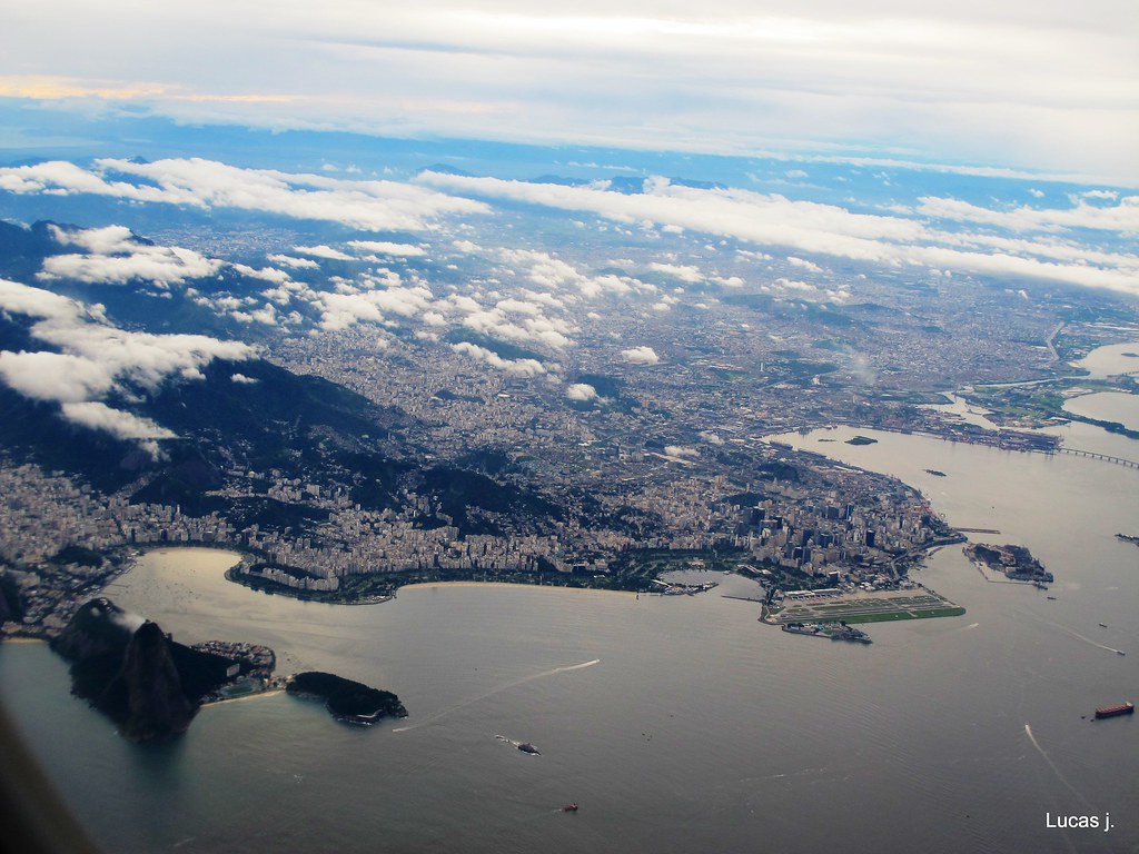
Niterói, at the other side of Guanabara Bay, and the other side of the Rio-Niterói bridge

Niterói
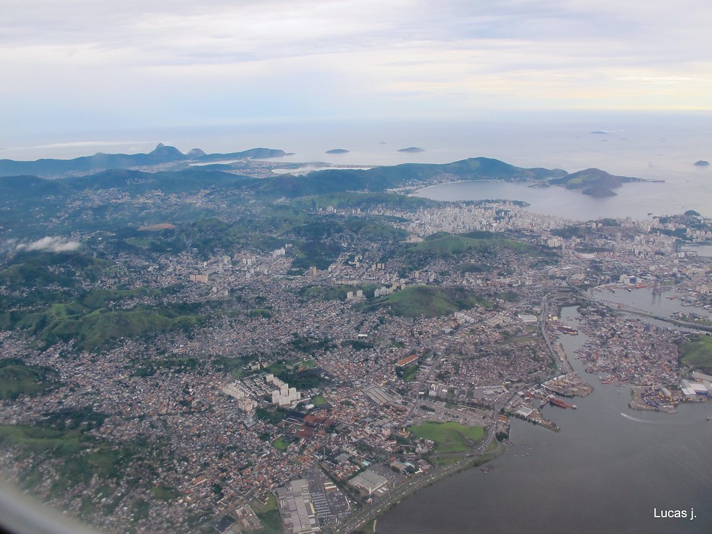
Niterói in the bottom, and Rio on the other side

Guanabara Bay (dont know what Guanabara means... must check my Tupi-Guarani language dictionary lol)
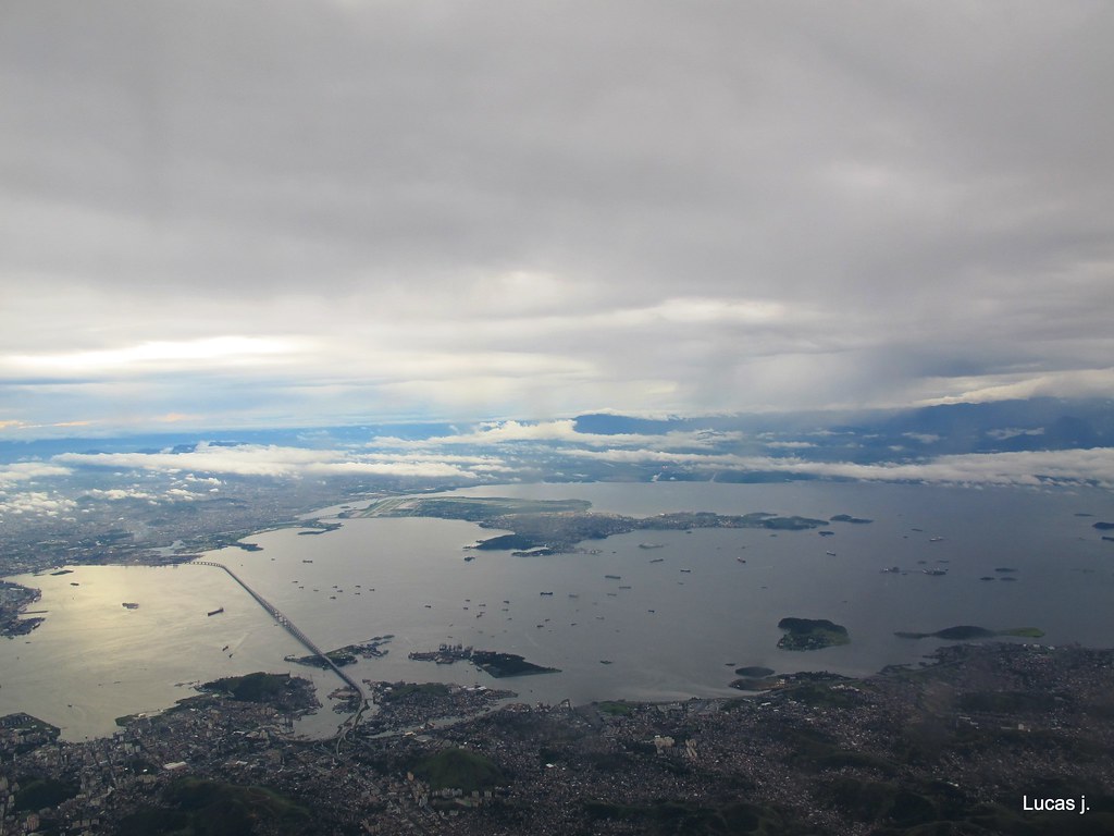
Governador Island and international airport
downtown
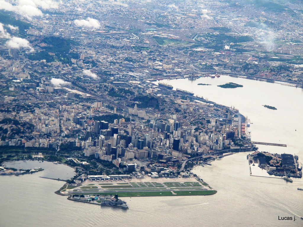
from left to right, along the Guanabara Bay coast: Botafogo, Flamengo, Centro (downtown)
sugarloaf
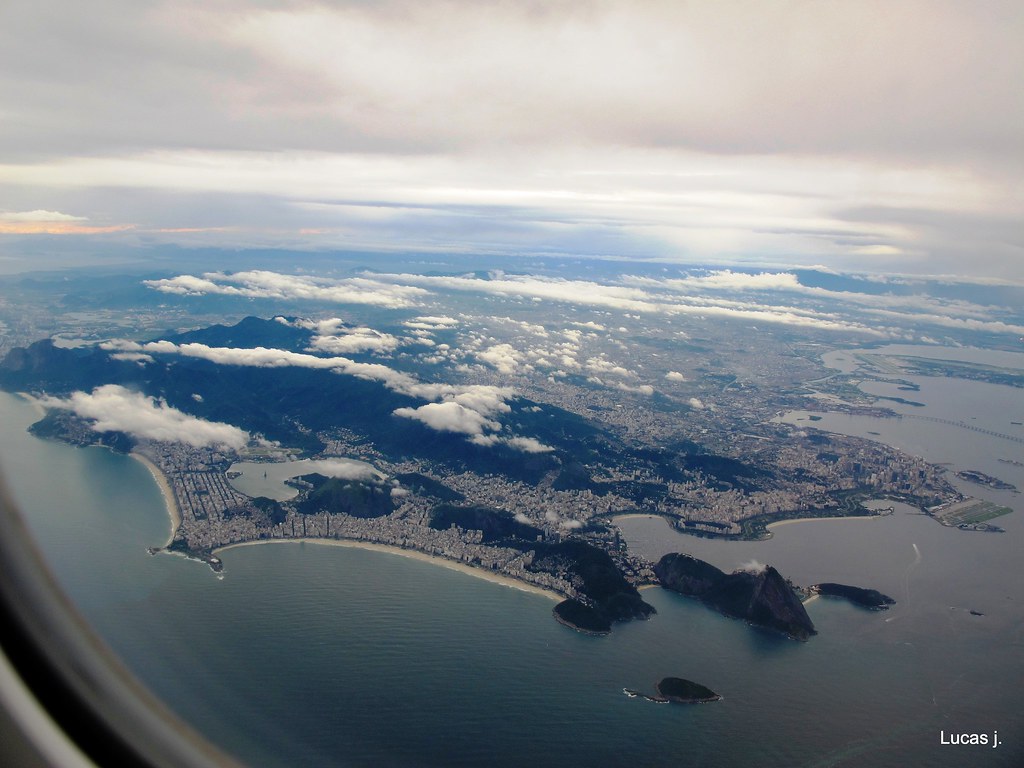
remember, there are 11 million people at Rio´s metro area... (at the left bottom, the start of Copacabana beach, at the Atlantic Ocean coast)

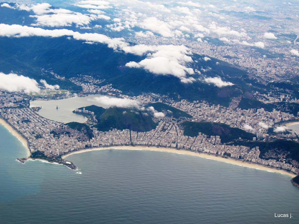
Copacabana and Ipanema beaches
Copacabana (right), Ipanema (left), Rodrigo de Freitas lagoon... and the Christ State, somewhere inside those clouds
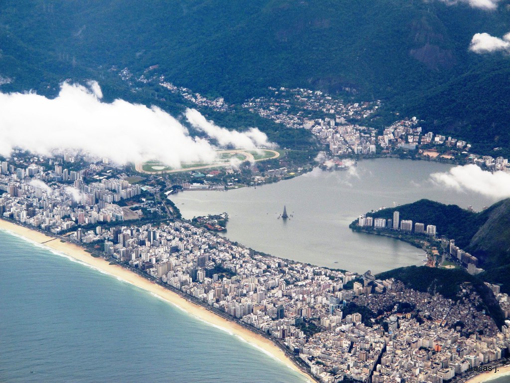
a closer look at Ipanema gives us a better notion of dimensions
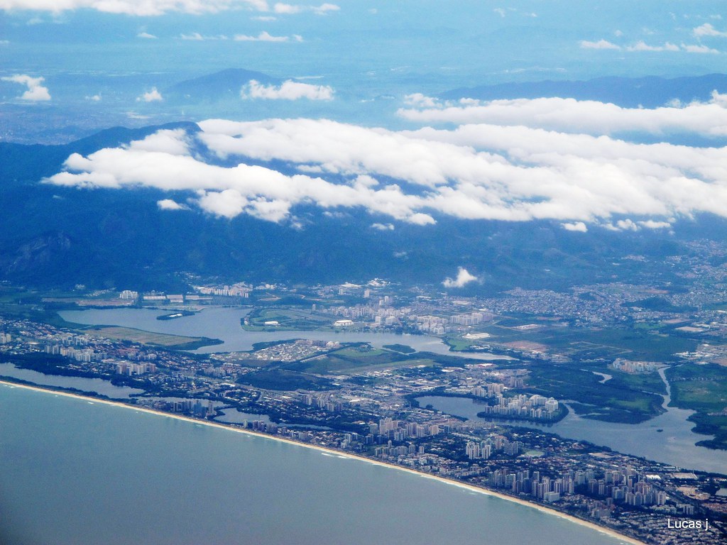
Barra da Tijuca neighborhood

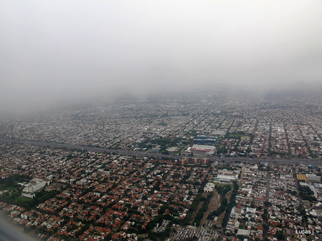
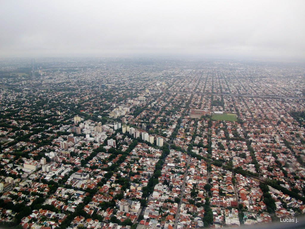
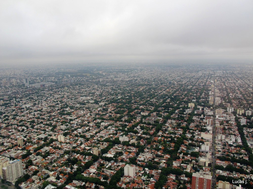
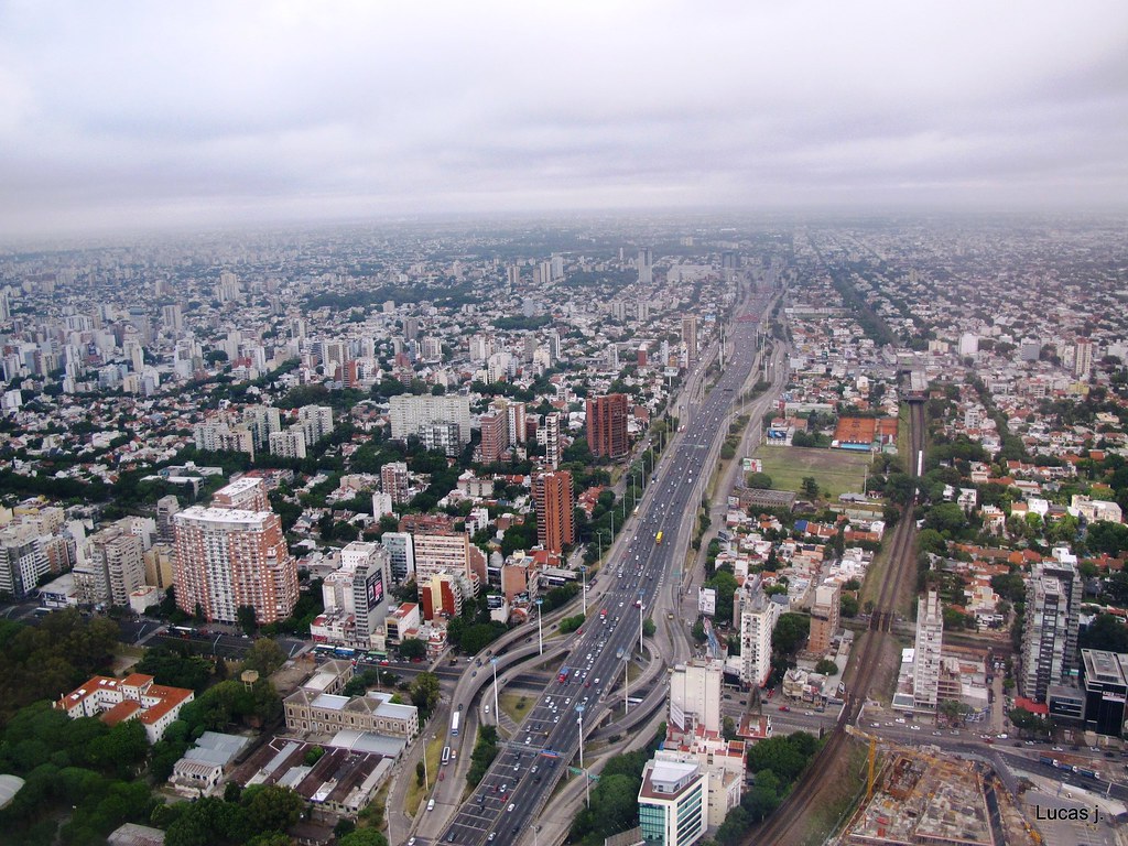
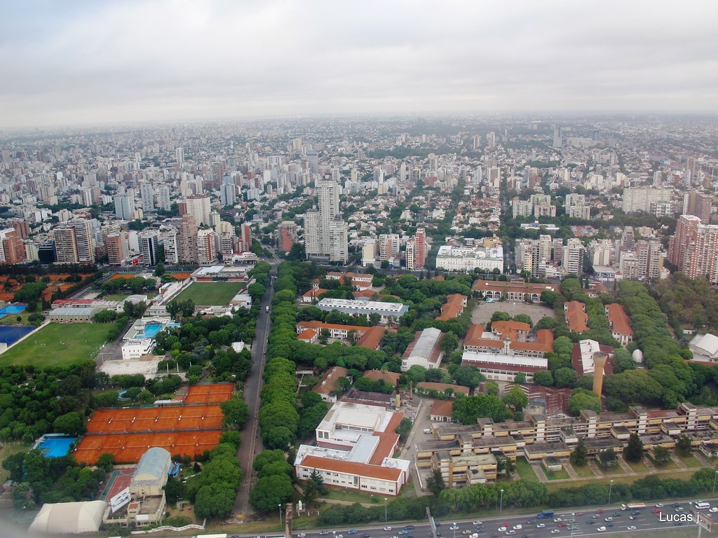
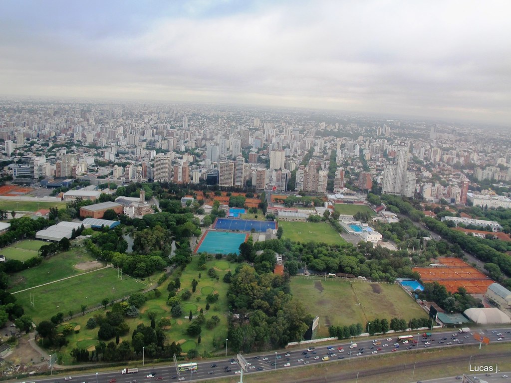
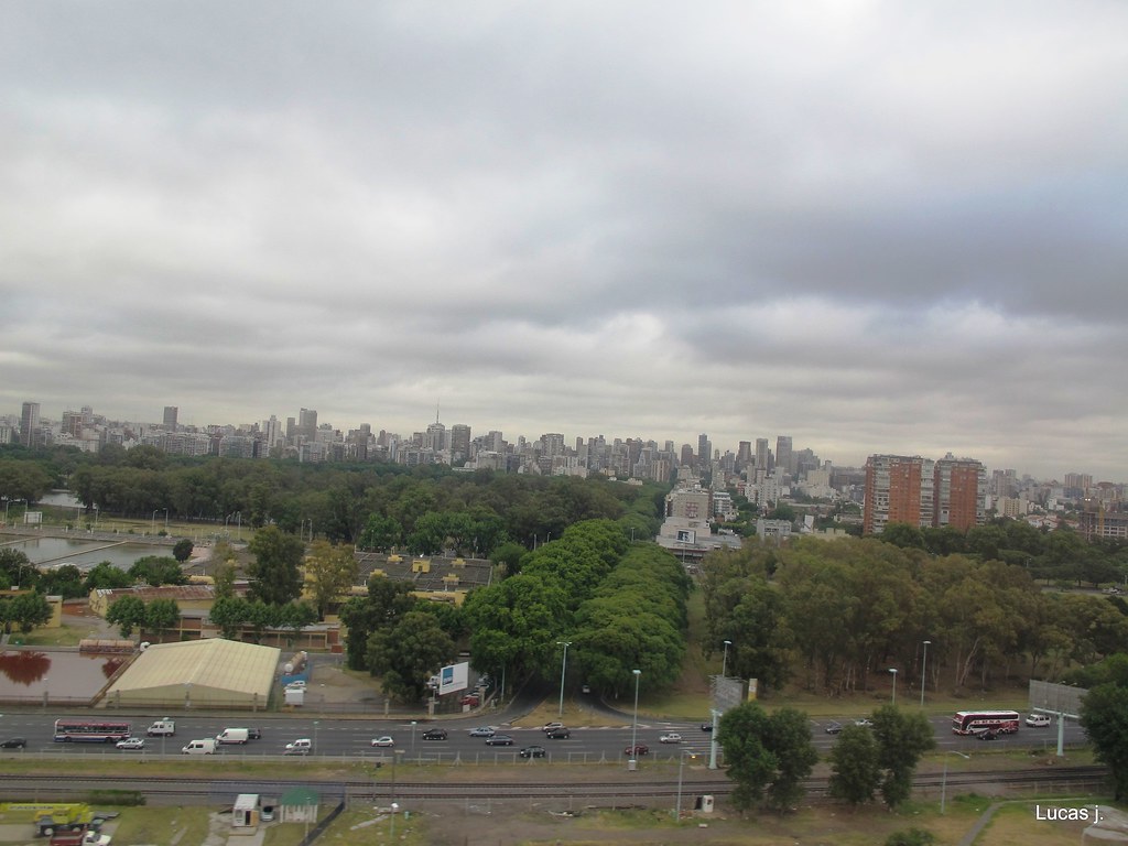
and from the same thread, by the same author, Buenos Aires