Quote:
Originally Posted by HossC

This is the University Elementary School,
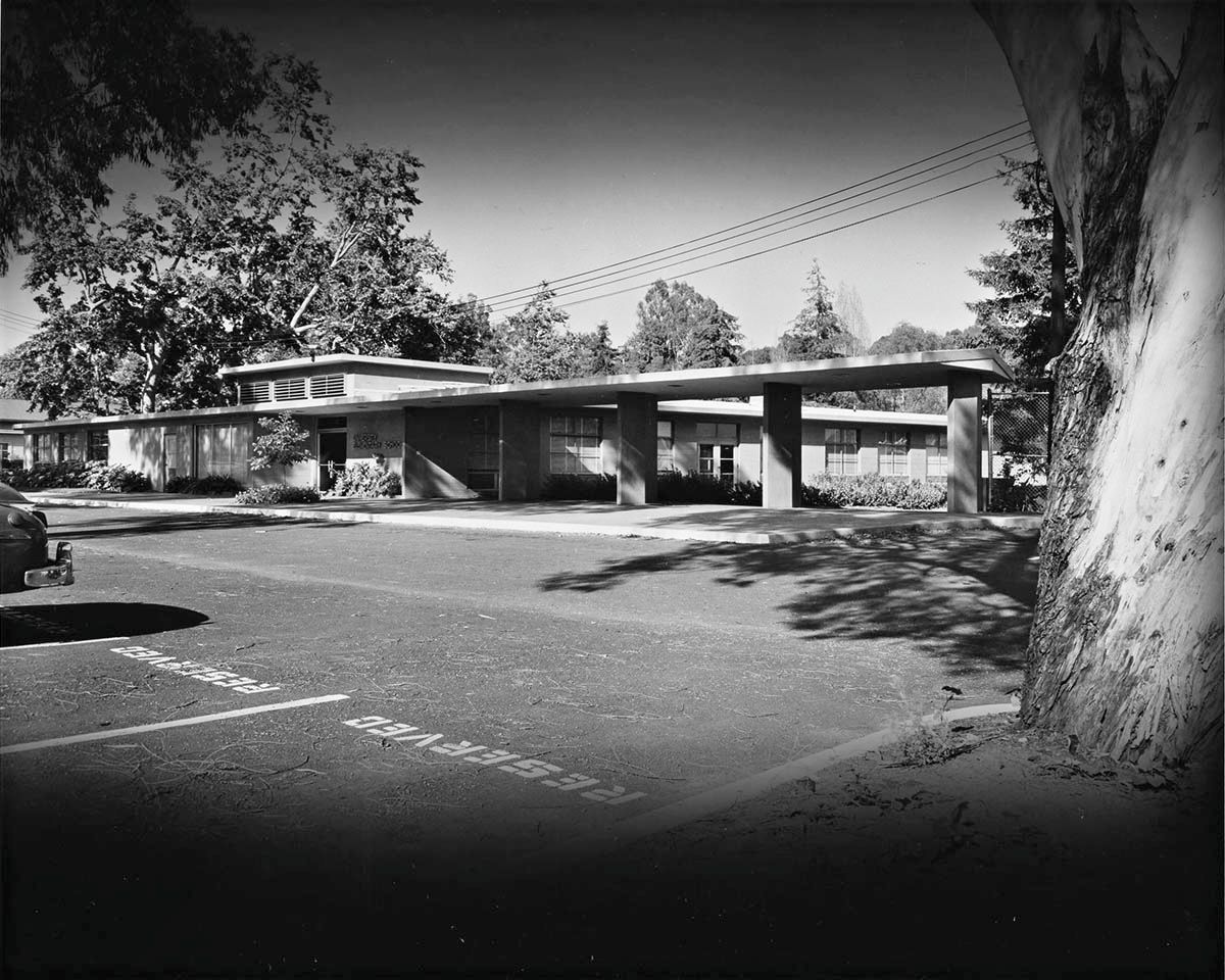
The 10636 address refers to its original location on Sunset Boulevard. |
UCLA alumnus checking in...
To be clear, I believe the lab school's physical location has been the same ever since it moved to the Westwood campus in 1947. The mailing addresses have been changing over the years as required by changes to street names and mail distribution protocols.
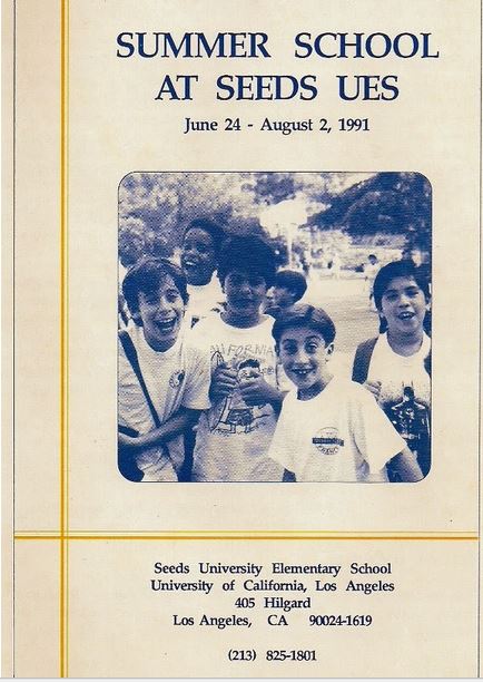
Until sometime after 1984, when I finished my degree, Charles E. Young Drive used to be Circle Drive--then as now with the requisite directional prefix East, South, West, or North. IIRC when it was Circle Drive it wasn't used in addresses. The UES could be listed with a Sunset Boulevard address, as noted above, but there are documents relating to the school from at least as late as 1991, which used 405 Hilgard as the address. The Hilgard address was (is) basically a catch-all address that could be applied to any building or office on campus, with the specifics usually provided in the second line of the address. (Note also the 213 area code, as this was mere months before the change to 310.)
Another change with Circle/CEY Drive that directly affected UES, and that also happened around the same time as the renaming, was the street's realignment to run nearer along Sunset, in fact nearly abutting it. My memories of the details from nearly thirty years ago are sketchy, but I believe that the present-day alignment this section of Circle/CEY Drive was merely a drop-off/pick-up/carpool area for parents and UES students, with a few curbside parking areas for faculty and staff. Circle/CEY used to be aligned further to the south so that it ran
behind the lab school, completely separating regular university traffic from that of the lab school. For that reason I think the realignment was a bad idea, because now the main flow of traffic around the campus now has to pass right alongside the elementary school, negotiating speed bumps and stop signs along the way.
ETA: Now looking at the current Google Earth aerial view, it comes back to me (north to the right).

In the above screengrab from Google, note Sycamore Court, a cul-de-sac near the center of the frame. I now remember that this used to be part of Circle Drive, and it went all the way through to Westwood Plaza. However, the construction of the new Anderson School Of Management facility in the early 1990s put a stop to that.
Meanwhile, what is now the current day alignment of CEY drive also used to run all the way to Westwood Plaza, but you hardly noticed it unless you were actually going that way. I'm not even sure we were allowed to drive through there at all.
[Aside]
Regarding Google Earth, has anyone else found a way to turn off those aggravating pop-ups that say "UNITED STATES - Fly me to this location"? It seems you can't even click on the map without having the program back you out to where you can see the entire county of L.A. I'm already LOOKING at a city in the United States, so why does it keep wanting to fly me there?
[/Aside]