Quote:
Originally Posted by Flyingwedge

It looks like St. Athanasius Episcopal Church. It was the first Protestant church built in LA and was located at the SW corner of Temple and New High.
...
In 1883, the building became the LA County Assessor's Office:

LAPL ( http://jpg1.lapl.org/00076/00076313.jpg) |
The view today:
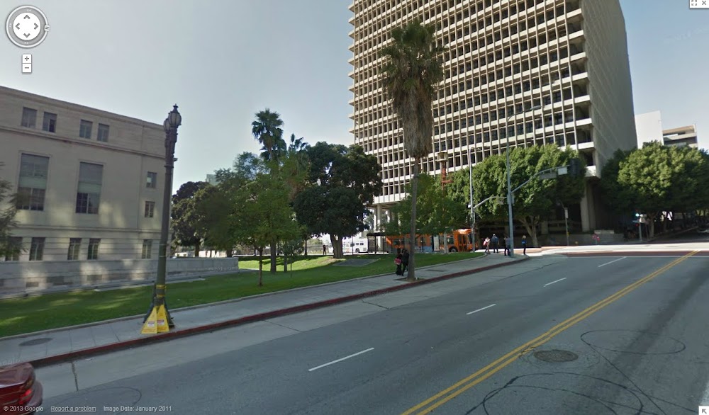
Google Street View
Since New High Street is gone, this intersection is now mid-block on Temple, about 2/5 of the way from Spring to Main. The church property is at the corner of city hall's lawn, with the back end of the church possibly sticking out into present-day Spring Street.
Don't know if I've mentioned it before, but Google Earth is extremely helpful in placing these kinds of photos that include disappeared streets. There is a project that overlays old USGS topo maps into Google Earth, which can be found here:
http://www.gelib.com/historic-topographic-maps.htm
You download the index, and then you can turn on an old USGS map for a particular area. The one covering downtown LA is from 1928, and shows lots of old alignments and missing streets like New High and Franklin. You can use the transparency slider to move back and forth between the old USGS topo and the modern aerial photo and see exactly where stuff used to be.