Quote:
Originally Posted by ethereal_reality

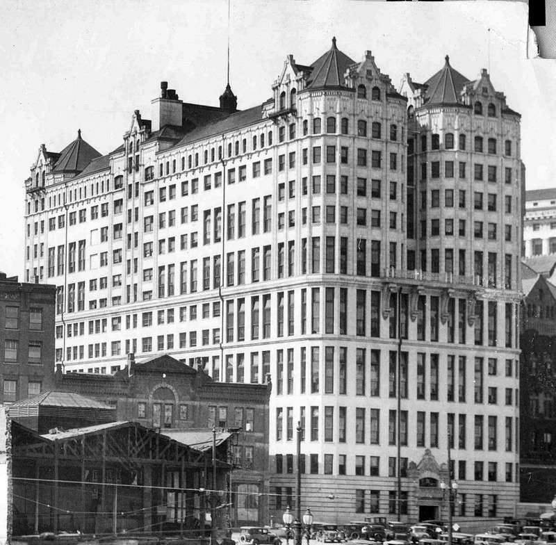
Straightening Spring Street near the magnificent Hall of Records building in 1929.
usc digital archive

usc digital archive
usc digital archive
At first I thought they were just shaving off the facades to make the building fit. Now I am not so sure.
Were the buildings totally destroyed or modified?
The whole act of straightening Spring Street is a bit confusing to me.
Earlier in the thread I believe we had overhead views of the area....but I can't seem to find them at the moment.  |
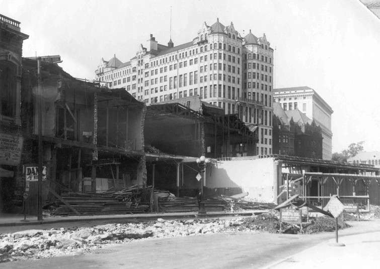
the buildings in the images are actually the back side of the buildings that fronted on new high street. they lost they're spring street back sides, when spring street was straightened.
1927 aerial
 Source
: USC Digital Archive
http://digitallibrary.usc.edu/assets.../CHS-6917?v=hr
the remainder of the buildings on new high street were gutted when the state building was constructed.
1931 aerial
 Source
: USC Digital Archive
http://digitallibrary.usc.edu/assets...DF739554A?v=hr
looking down new high street towards city hall in 1927. this image is taken from the exact location where the state building will be built in three years. all the buildings on the right, are the buildings with the spring street facades removed in your photographs E_R
 Source
: USC Digital Archive
http://digitallibrary.usc.edu/assets...CHS-36633?v=hr
1924, 1925 and 1929 aerials prior to street alignment and construction of city hall


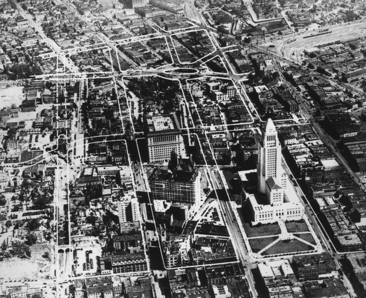
the 1929 aerial shows proposed street alignment overlay for civic center