
in this 1875 map, based on the 1849 Ord survey. High street is what became Ord street, the street as Rick M mentioned is the street you see from the Clover Park Trailer Park.
even though technically the hilly portion above Ord Street is not Bunker, nor Fort Moore Hills, it is definately part of the same geological formation.
 Source
:
LAPL Map Visual Collection
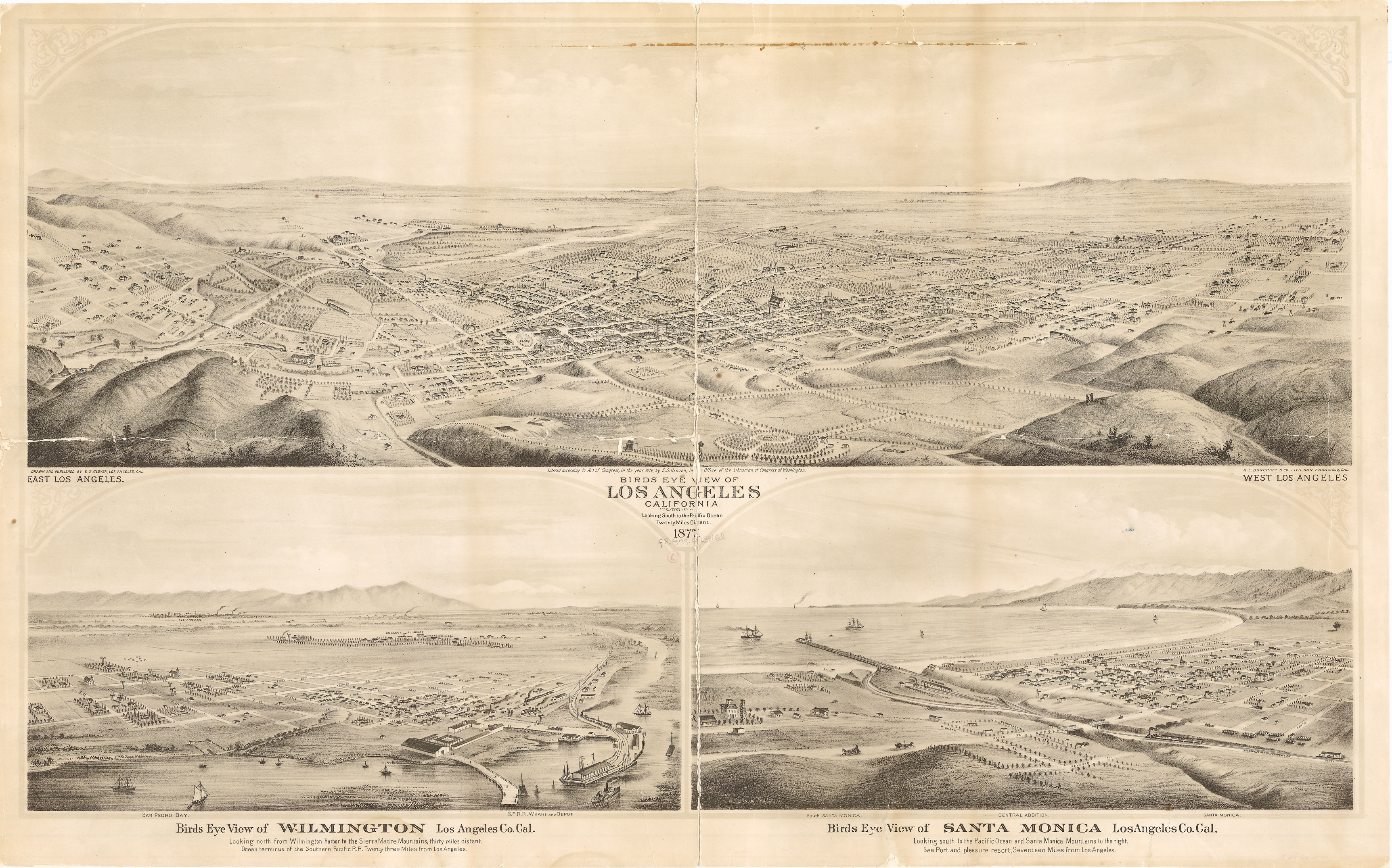
In this 1877 Birdseye map, Ord Street is the 2nd stree to the right of College Street. it certainly looks like the area of above Ord Street should be considered part of Fort Moore Hill. However, Fort Moore Hill is considered to be bound by Temple on the South, and Sunset on the North.
Does anyone know what the hilly area was called between Fort Moore Hill and Elysian Park?