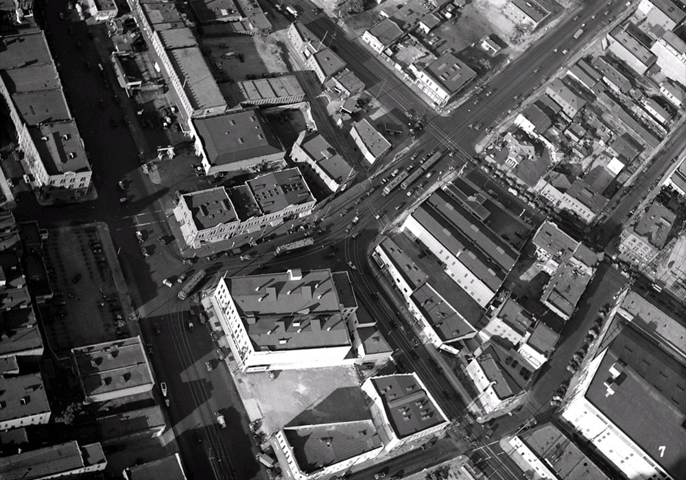
a 1936 aerial looking north easterly across the intersection of los angeles street and aliso street. (i believe that this image was posted quite awhile ago, but at the time, i wasn't exactly sure in my mind where this was truely located).
 Source
: USC Digital Archive
http://digitallibrary.usc.edu/assets...NG-4129-C?v=hr
the jennette block, (which contains the garnier building), is at the upper left hand corner, calle de los negros is across the street from there. the street car on the left is turning from going northbound on los angeles street to east bound on aliso street.
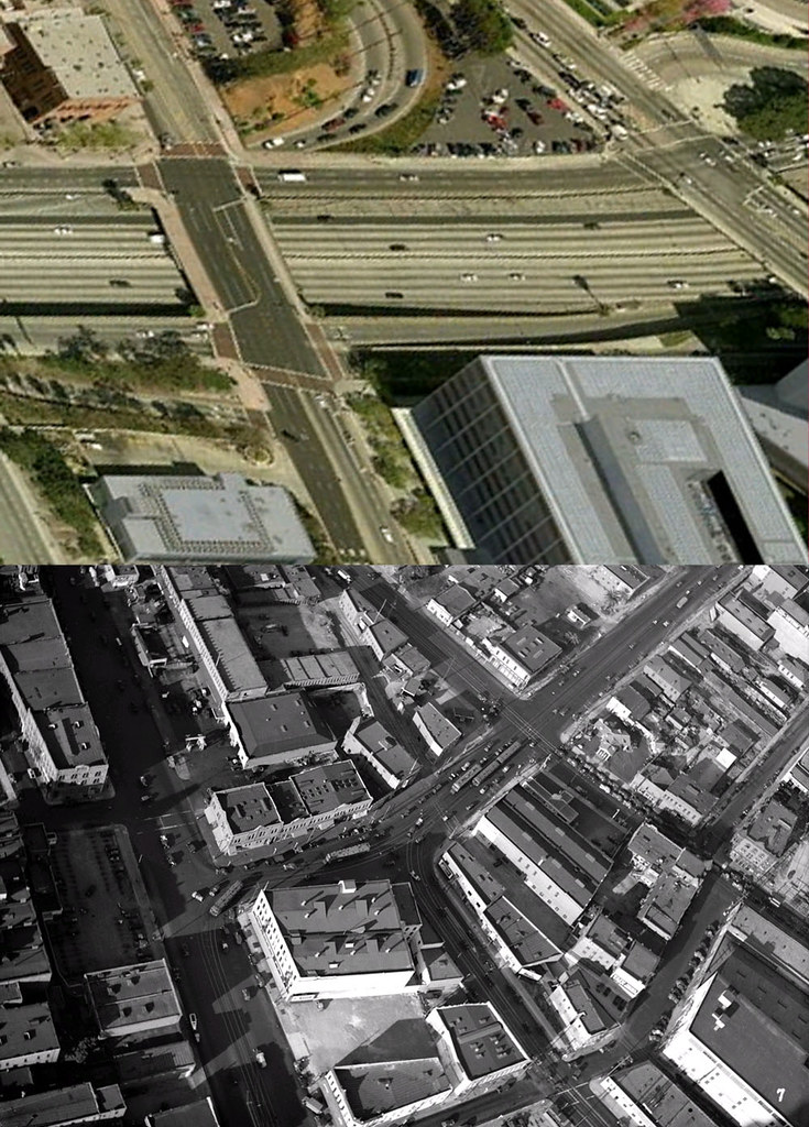
a kind of haphazard then and now view using bingmaps, (sorry for the distortion in the now image)
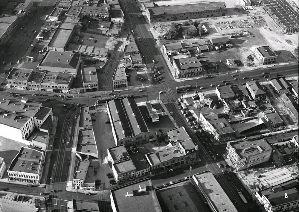
and here's a companion photo. this time we are looking north across the intersection of alameda and aliso.
 Source
: USC Digital Archive
http://digitallibrary.usc.edu/assets...NG-4129-T?v=hr
los angeles street is at the top left. san pedro street is the street that terminates at aliso street. (today san pedro terminates at temple).