The other day I found a collection of pictures on USC titled
"Aerial views from Goodyear blimp (Paegel), 1955" (the description indicates they're from late '54). I don't think we've seen them on NLA before. There are 22 pictures altogether, some beautifully clear, while others disappear into smog. They cover various locations from Santa Monica to the Colorado Bridge with some nice DTLA shots along the way.
The first one I picked out shows a view looking across the Civic Center. The Hill Street tunnel is still there on the left, as are some other buildings close to demolition like the International Savings & Exchange Bank Building/Bank of Italy and the Amestoy Block near City Hall. There are so many more details when you zoom in - I'd highly recommend clicking the link below the picture to explore for yourself.
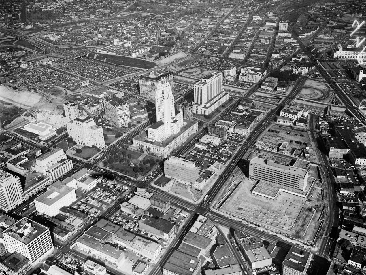 USC Digital Library
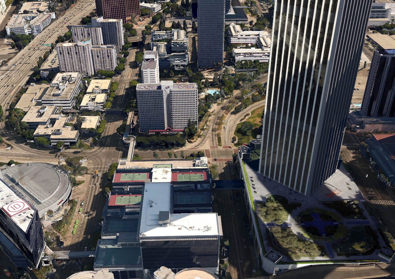
I tried to replicate the view as closely as possible using Google Earth.
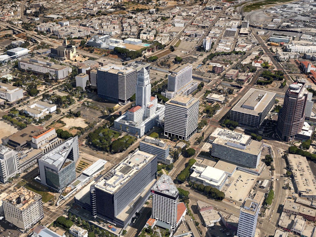
Google Earth
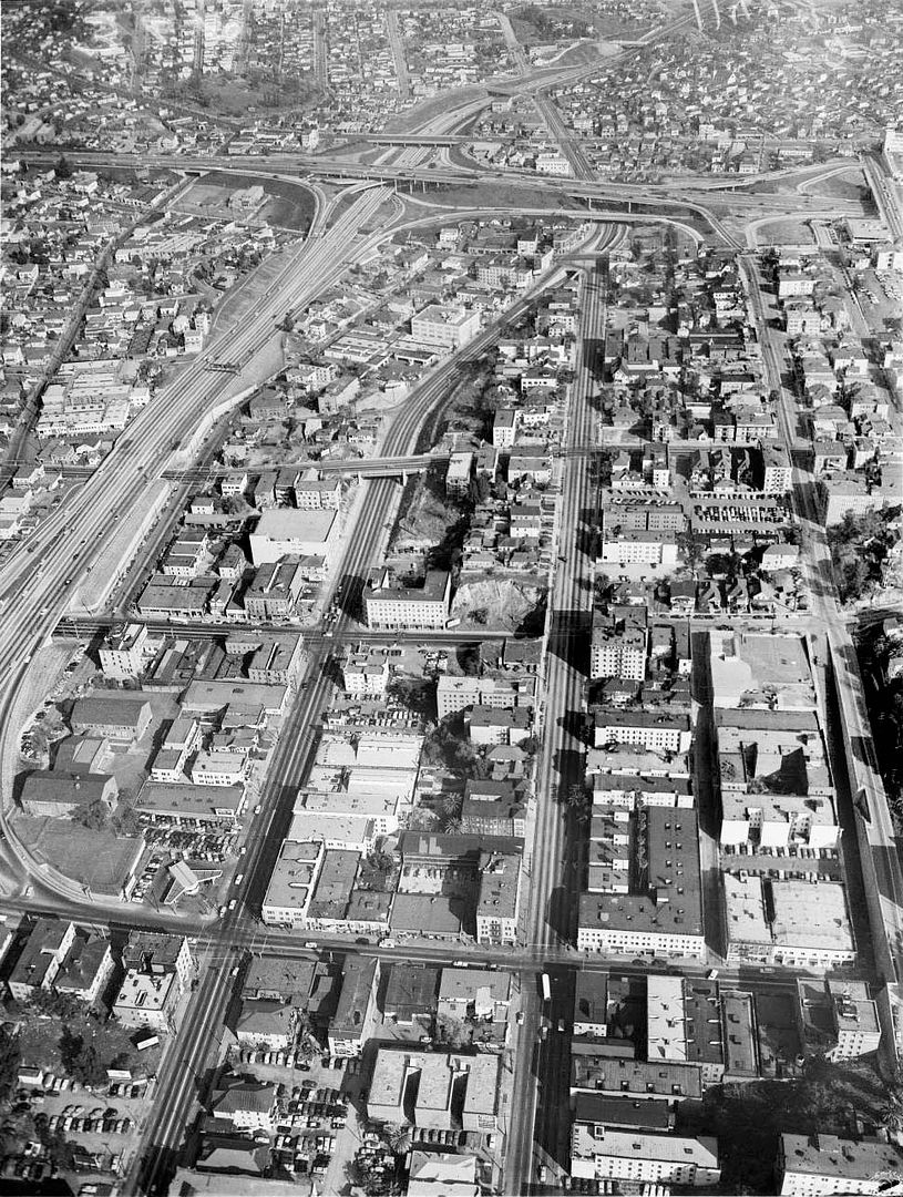
There's so much to look at in this picture, I could study it all day. On the left are some old favorites like the Rex Arms and the Sunkist building and the Jonathan Club. Moving across we see the 4th Street Viaduct project in its early days with Stuart K. Oliver's house overseeing the work. Across the Harbor Freeway there's a building between 3rd and Miramar that's signed "TANNER GRAY LINE". In the lower right corner you can see 3rd Street emerging from underneath Hope Street, and the recently discussed Rollin, Bozwell, St Regis, Marcella and Winton on Flower Street.
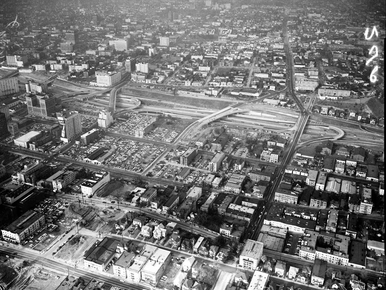 USC Digital Library
The same view today - it's hard to spot the
difference similarity.
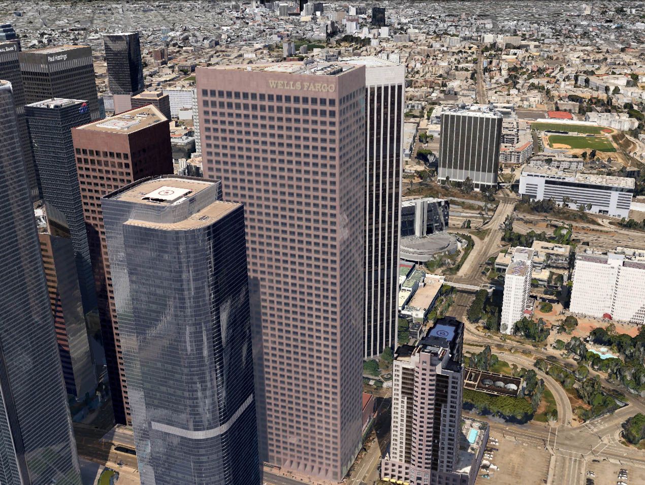
Google Earth
The last view I've chosen shows roughly the same area, but looking in a different direction. As well as the apartment buildings/hotels on Flower, this picture also shows the Clift, the La Salle and the President at Figueroa and Second.
NB. I've tweaked the levels to even out the contrast.
 USC Digital Library
Near the bottom of the picture is the 800 block of W Third. The photo must've been taken around the time that Stanley Kubrick was filming
The Killing. Here's a close-up showing the Lux and Eddie's Loans (complete with the just readable "Money To Loan" sign). On the corner is the Fig Leaf Cafe.

Detail of picture above.
I know the aspect ratio is different to the USC picture, but I've tried to cover the same area with the view below. The only extant building I spotted from the aerial above is the Central Health Center at 241 N Figueroa - are there any others?
Google Earth