Quote:
Originally Posted by fhammon

That little bit of remaining stream-bed must be ancient indeed!
...or not. Just a bit of nicely engineered landscaping and drainage.
It's easy to be cynical about these things.
|
I wondered that too. Whether the stream is in its natural bed and just taken advantage of by the developers or if it's placement and disappearing and reappearing was engineered to make it a desirable feature.
In this CC Pierce aerial from 1918 one can see the oil field on the left which will later become the Wilshire Country Club. It's hard to tell if the stream is there or not, but it looks like it might be. Dunno why there's such a thick knot of trees at Melrose and Rossmore (must be b/c of water).

cc pierce/usc
It does appear rather abruptly on the links now:

google maps
I have been unable to find a photo of the stream as it exists between the houses, but I'm told it looks very "natural" (eroded rocky outcrops, etc).
The only place I could glimpse the surface of the water was under this bridge between Highland and Longwood, south of 9th.

google maps
The name is certainly rather silly & romantic.
I don't know of any indigenous name attached to this area, but there must have been one.
Makes a lot more sense when one sees the map:
 http://lacreekfreak.wordpress.com/la...cal-waterways/
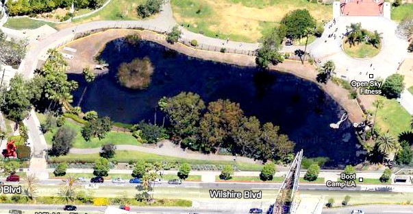
A little stream's allowed to emerge for about a minute at the Tar Pits too. A footbridge crosses it:

google maps
....and eventually adds to this:
google maps